


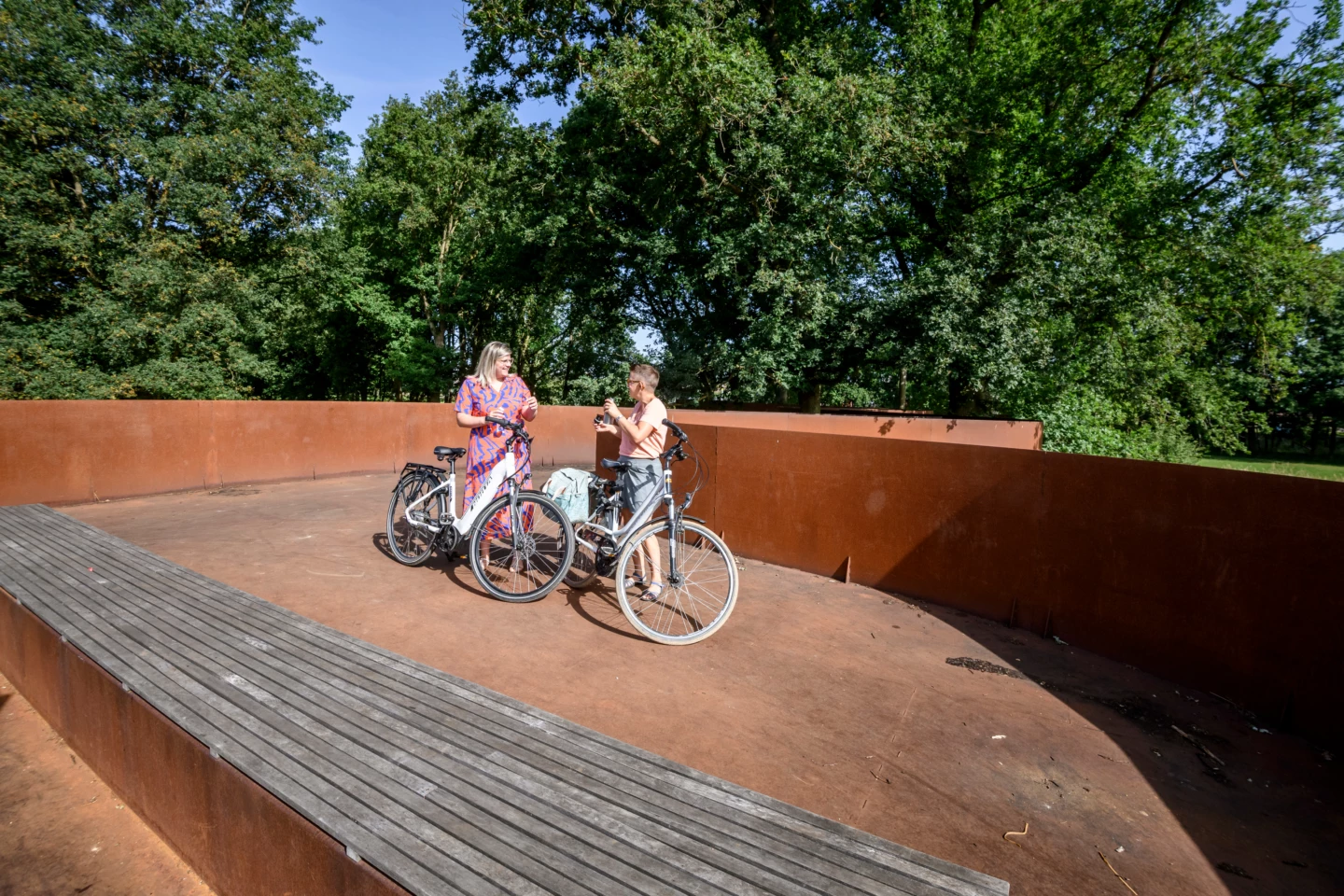


In Aarschot, you can go in two directions, using the Demer as your guide: upstream through Schoonhoven Park to Testelt, or downstream to where it flows into the Dijle near Werchter. Or combine them into a large loop and pass three Demer landmarks: in Langdorp, you can enjoy the view of a meandering stretch of river no less than 35 meters long at the former mooring site for ships. The Corten steel toll booth on the Demer Bridge in Betekom once actually stood there. In Werchter, you’ll walk among the treetops of ancient oaks along a suspended, winding path. This was once a resting place for boat haulers.
Please note: the section between junctions 14 and 51 is closed until the end of 2026.
Features
Distance
51,7 km
Climbing
133,0 m
Signposted
Yes, with nodes
Type of road
Flat route, 84% paved, 16% unpaved
Type route
Recreational route
Landscape and surroundings
Along water
Location and accessibility
Starting point
Parking Demervallei
Demervallei 8
3200 Aarschot
Demervallei 8
3200 Aarschot
Public transport
Bus stop 'Aarschot Demervallei' 146 metres from the starting point. Bus lines: 30, 25, 41, 14, 648, 64.
Resting points
Resting bench(es) along the way, food and drink along the route
View the cycle route on the map
89
51
3
80
56
81
57
82
1
2
4
89
51
15
16
17
62
66
66
41
30
72
71
67
91
92
9
10
15
51
89
When is the best time to visit it?
Directions
Walking and cycling
See and do
Food and drink
Practical
Where the route is a dotted line, the surface is unpaved.


