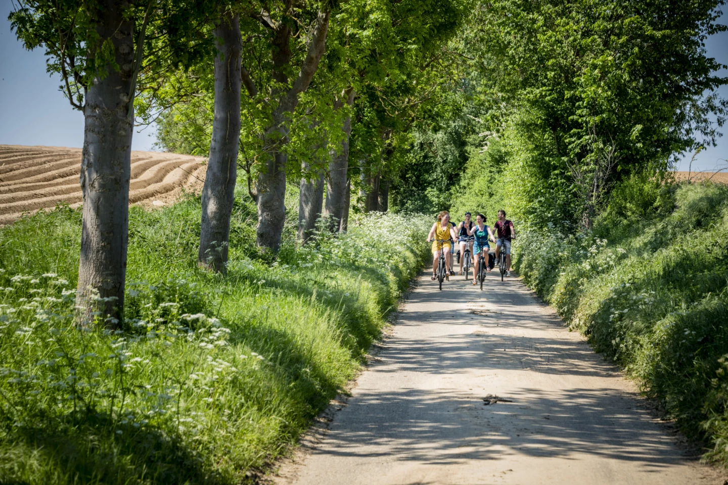
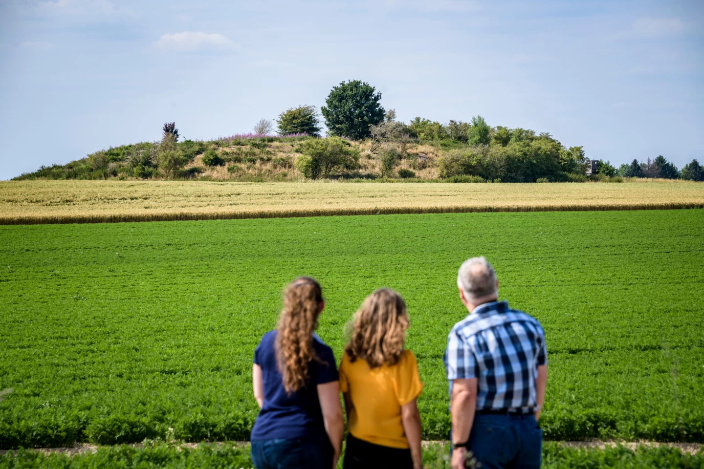
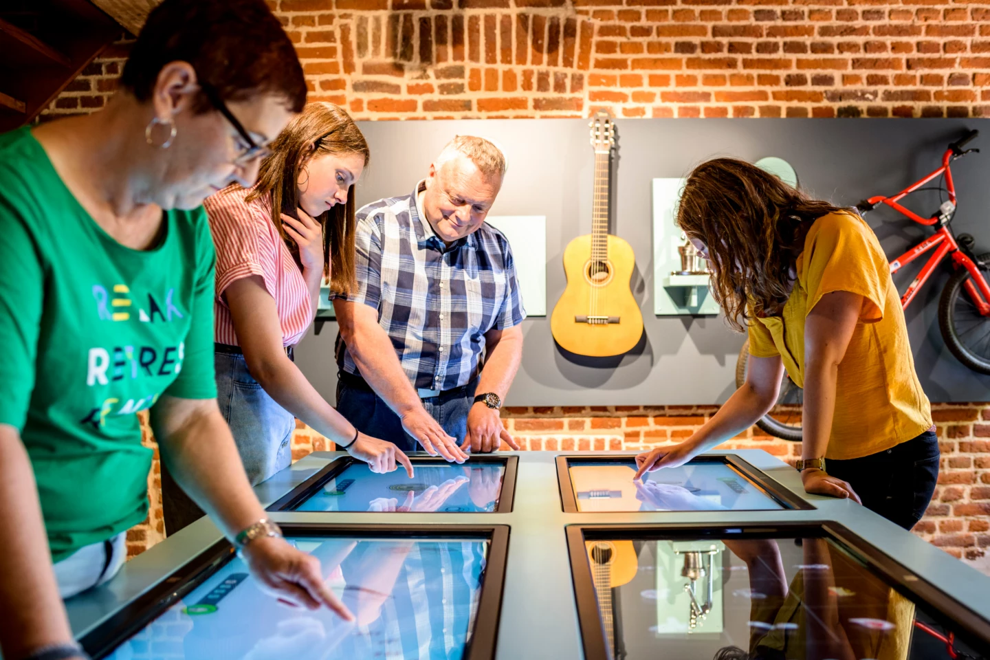
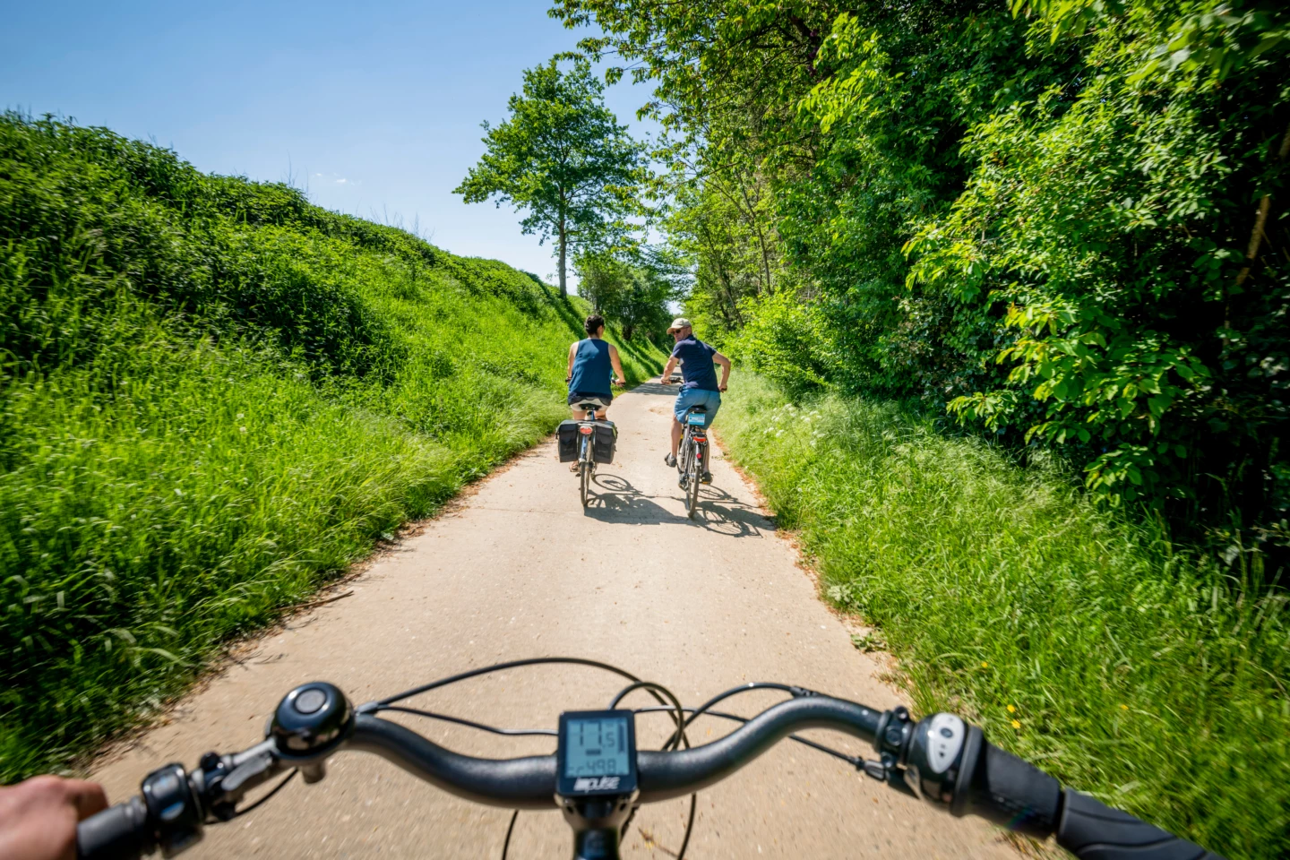
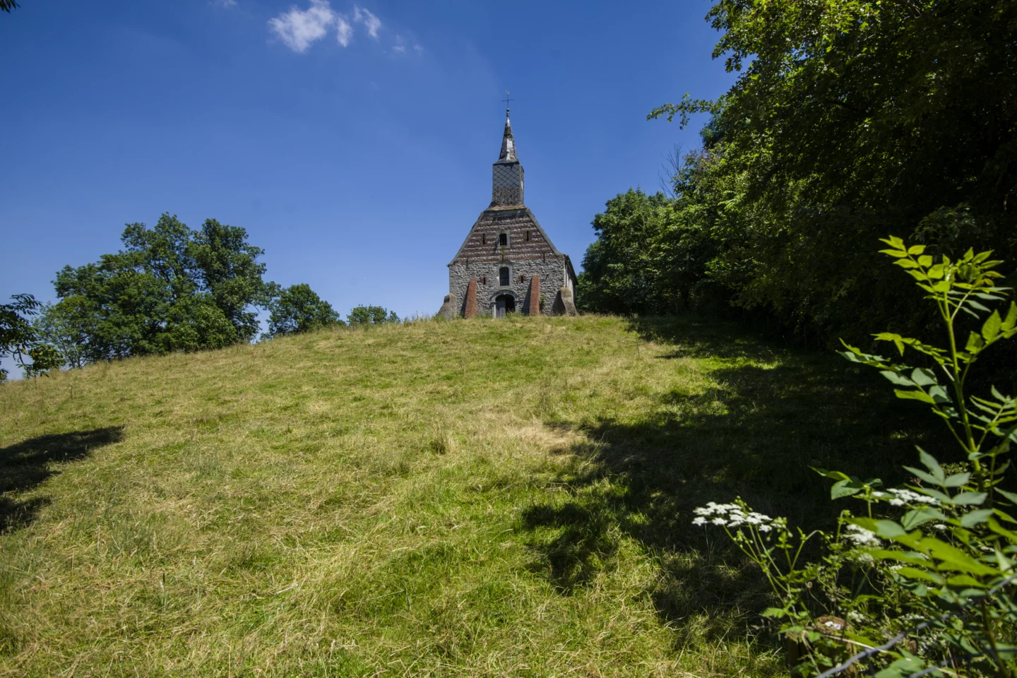


The Gallo-Romans left their mark on the landscape. You can still recognize their tumuli today as small mounds in fields and meadows. This route takes you across provincial and language borders, past burial mounds and motte-and-bailey castles, and through the most beautiful spots in (Hagelands) Haspengouw. Spark your imagination with a look at the archaeological finds in Landen, where Pepin of Landen once lived. Get off your bike at the Gallo-Roman tumuli in Gingelom. Cycle along former railroad right-of-ways from Racour through Geldenaken to Hoegaarden.
Before you set off: To shorten the route, there are two options: either cycle back from junction 19 to junction 82, making it a 34-km or 47-km route. Or you can shorten the route from junction 57 via junctions 5, 2, 1, 98, 99, 52, and 51 to junction 50. This makes for a 36-km route passing through Hélécine, Jodoigne, Hoegaarden, and Tienen, or a 68-km route via Landen, Gingelom, Orp-Jauche, and Hélécine.
Features
Location and accessibility
Molenbergstraat 4
3400 Landen
View the cycle route on the map
When is the best time to visit it?
Directions
Walking and cycling
See and do
Food and drink
Practical


