


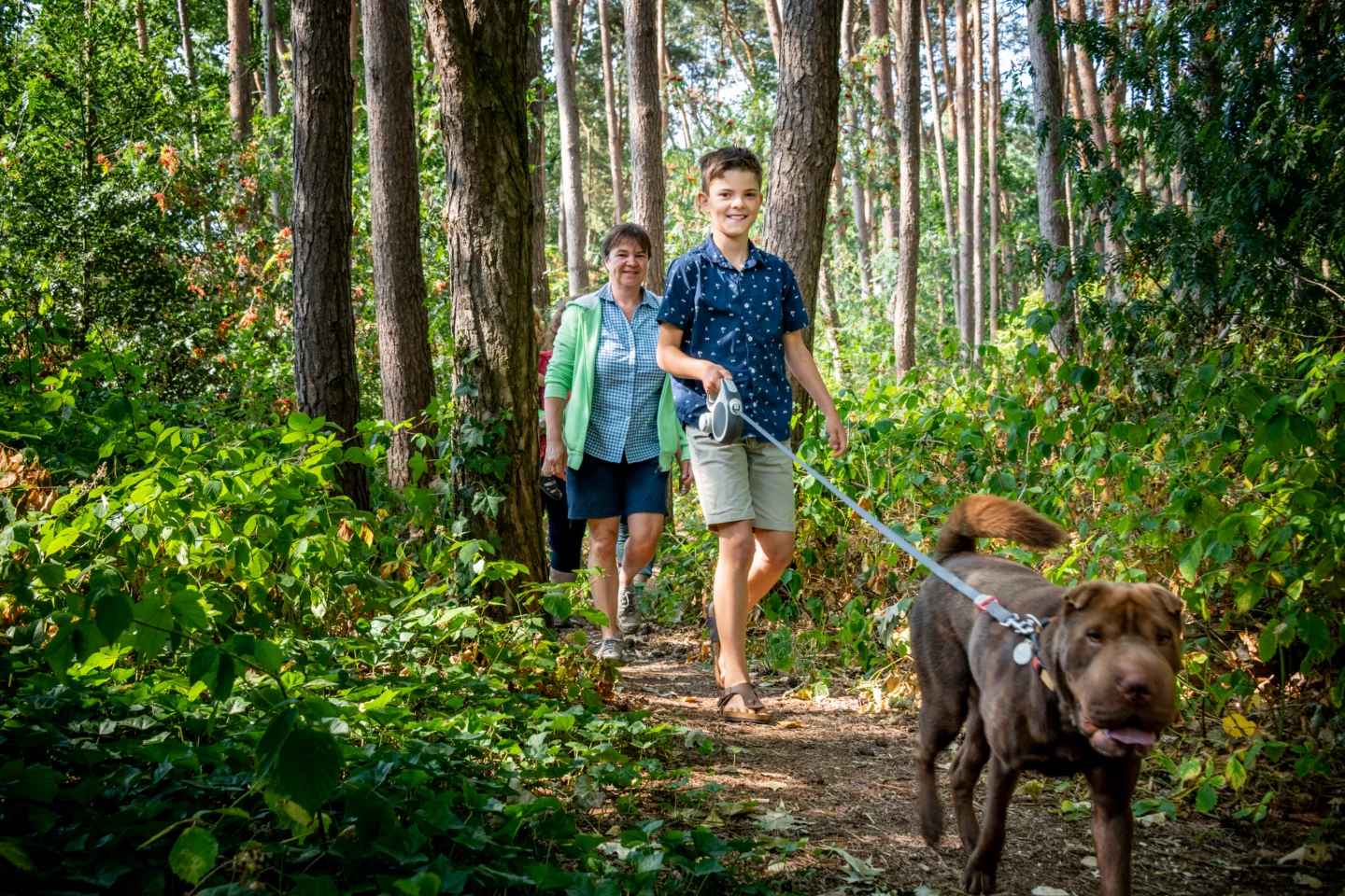


Explore the Broekelei Nature Reserve, formed from a peat-filled meander dating back to the Ice Age. At that time, meltwater from the Demer and Dijle rivers carried so much sand that you can still find it in the subsoil today. The sand, loam, and clay support a rich variety of flora and fauna in a landscape of wet and dry forests, grasslands, pools, streams, and canals. Five bunkers scattered throughout the landscape—remnants of World War II—have been converted into winter roosts for bats.
Features
Distance
6,5 km
Climbing
42,0 m
Type of road
Flat route, 42% paved, 58% unpaved
Signposted
Yes, with nodes
Location and accessibility
Starting point
Sint-Michielskerk
Gemeenteplein
3140 Keerbergen
Gemeenteplein
3140 Keerbergen
Public transport
Bus stop 'Keerbergen Kerk' 193 metres from the starting point. Bus lines: R27, 25, 704.
Resting points
Rest bench or picnic area along the way, food and drink along the route
Child-friendly
Child-friendly
View the walk on the map
9
902
90
903
91
92
93
94
95
9
When is the best time to visit it?
Directions
Walking and cycling
See and do
Food and drink
Practical
Where the route is a dotted line, the surface is unpaved.


