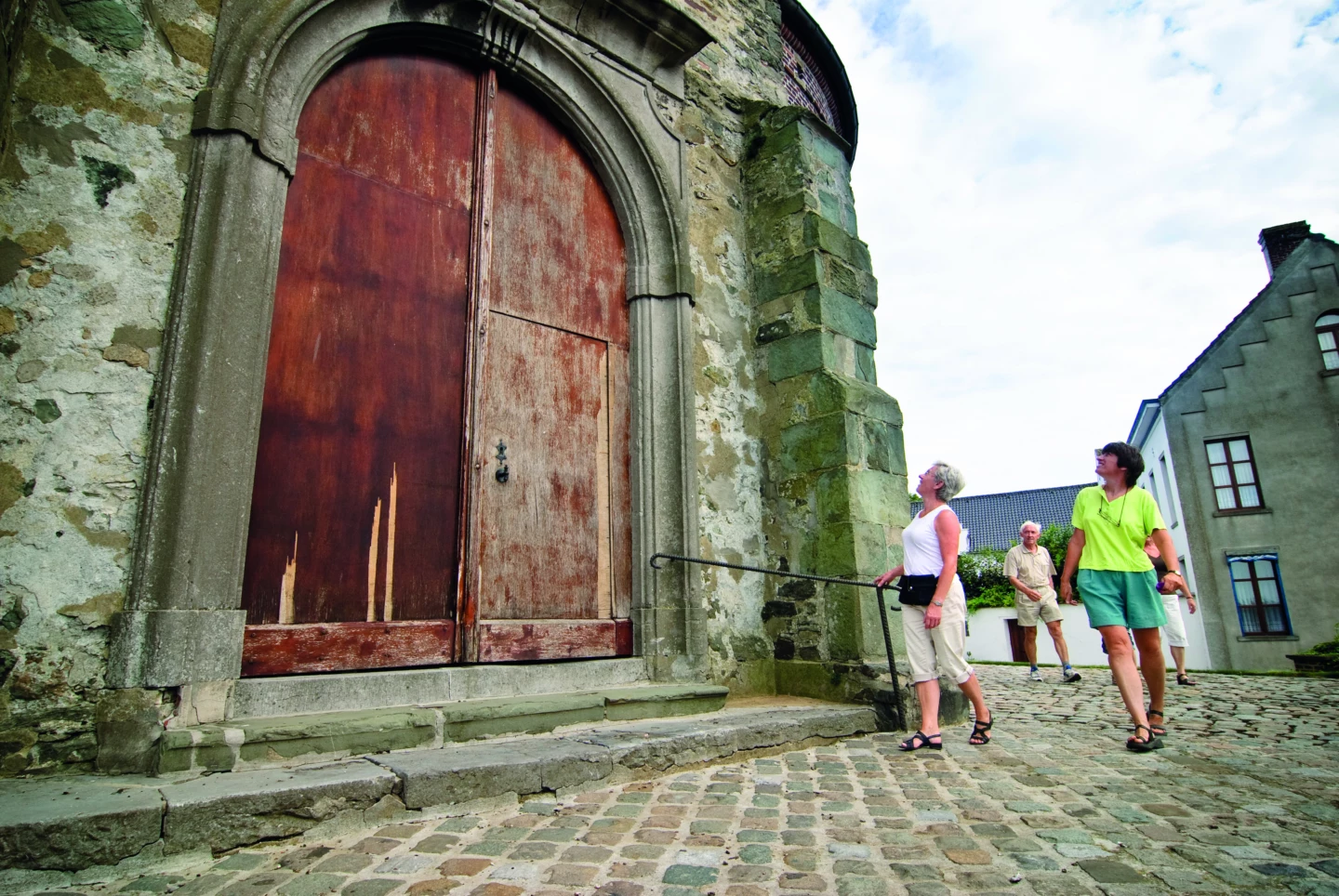

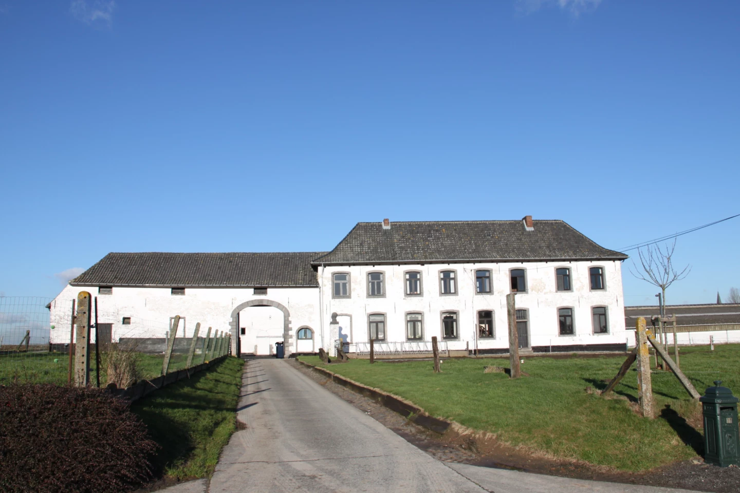
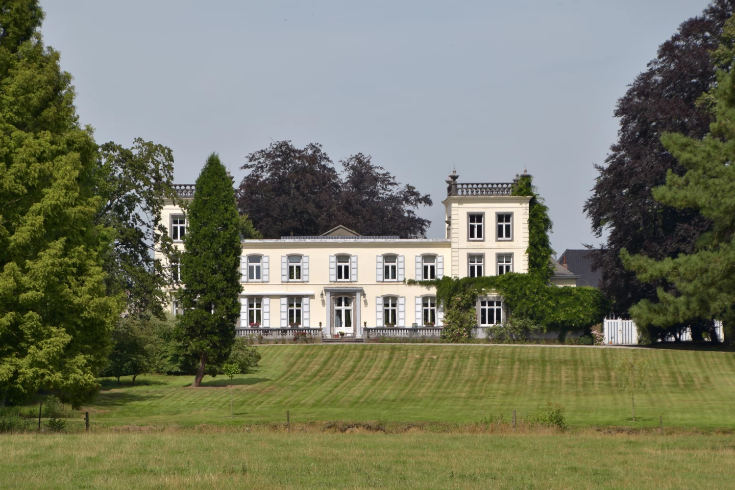


Explore the charming village of Bogaarden, nestled deep in the gentle rolling hills of the Pajottenland. You’ll walk around the Roskambeek valley past meadows with grazing cows, by little chapels, and through open farmland. You’ll always spot an orchard or a farm somewhere, with names like Hoeve Roskam and Hof te Reigersdale. Halfway through your walk, you’ll arrive at the 18th-century, classicist Ten Dael Castle. It’s surrounded by an artificial river landscape, one of the oldest landscaped parks in the country.
Features
Distance
5,3 km
Climbing
37,0 m
Type of road
Flat route, always dry feet, 91% paved, 9% unpaved
Signposted
Yes, with nodes
Location and accessibility
Starting point
Sint-Theodarduskerk
Ring
1674 Bogaarden (Pepingen)
Ring
1674 Bogaarden (Pepingen)
Public transport
Bus stop 'Bogaarden Dorp Kerk' 152 metres from the starting point. Bus lines: 164.
Resting points
Rest bench or picnic area along the way, food and drink along the route
View the walk on the map
347
345
341
333
331
329
330
349
348
346
347
When is the best time to visit it?
Directions
Walking and cycling
See and do
Food and drink
Practical
Where the route is a dotted line, the surface is unpaved.


