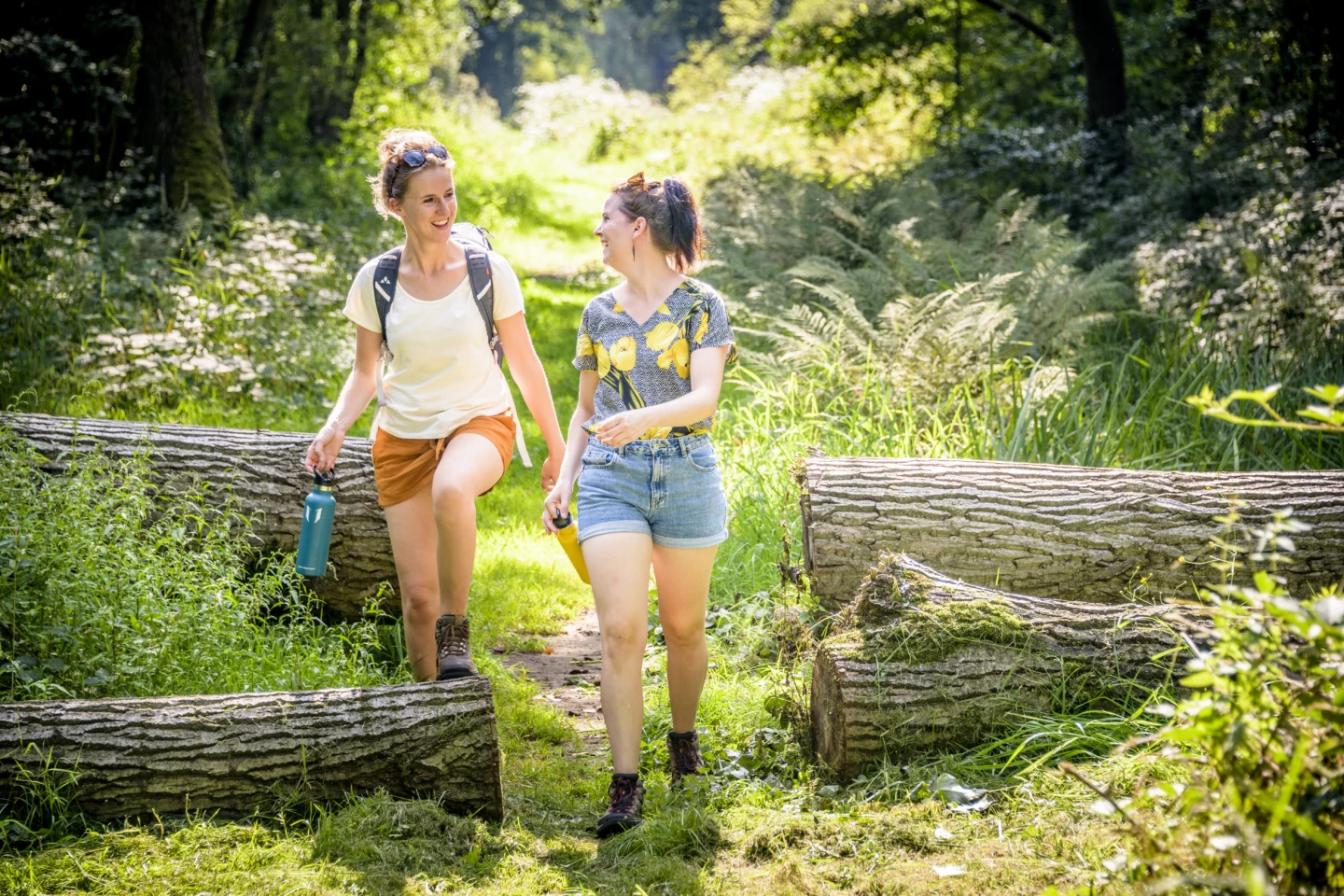
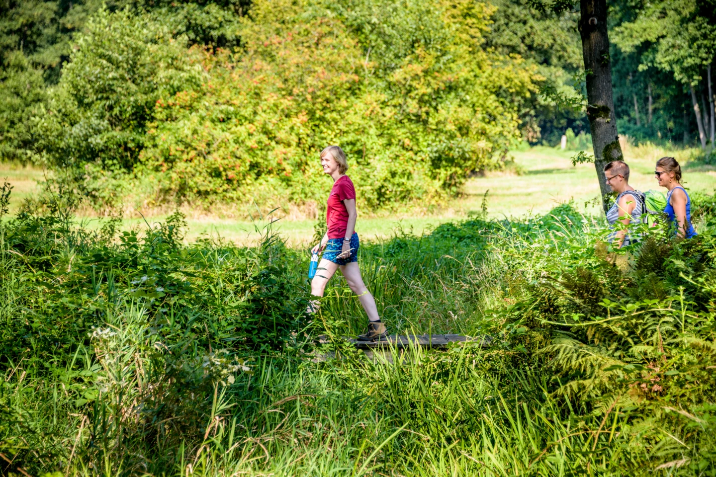
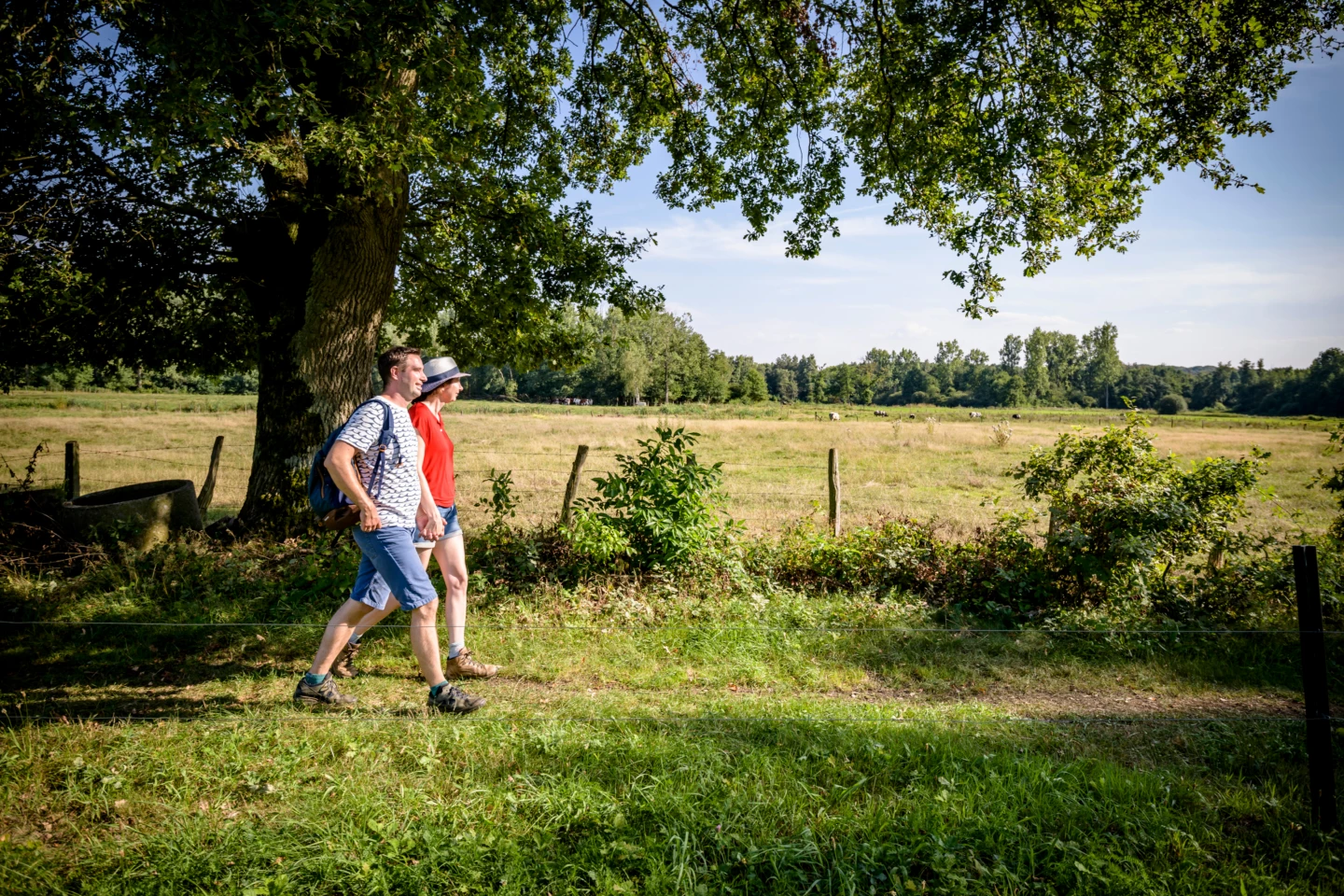


Discover Deurne, the northernmost village in Flemish Brabant. Your walk through a gently rolling landscape of heathland and woods takes you right up to the border with Limburg. Along the way, you’ll enjoy beautiful views of the Hamelterre area; with a bit of luck, you might spot some sheep in the meadows. You’ll climb the 50-meter-high Rode Berg and the Oosterbergen hill, and you’ll pass the Kievitkasteeltje, a cube-shaped villa from the late 19th century with a turret.
Features
Distance
9,5 km
Climbing
34,0 m
Type of road
Flat route, 49% paved, 51% unpaved
Signposted
Yes, with nodes
Location and accessibility
Starting point
Sint-Engelbertuskerk
J. Sweygersstraat
3290 Deurne
J. Sweygersstraat
3290 Deurne
Public transport
Bus stop 'Deurne Gemeentehuis' 159 metres from the starting point. Bus lines: 157, 347, 349, 155, 156.
Resting points
Rest bench or picnic area along the way
View the walk on the map
SP
937
940
941
928
938
929
937
When is the best time to visit it?
Directions
Walking and cycling
See and do
Food and drink
Practical
Where the route is a dotted line, the surface is unpaved.


