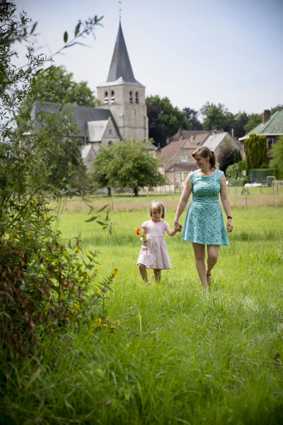
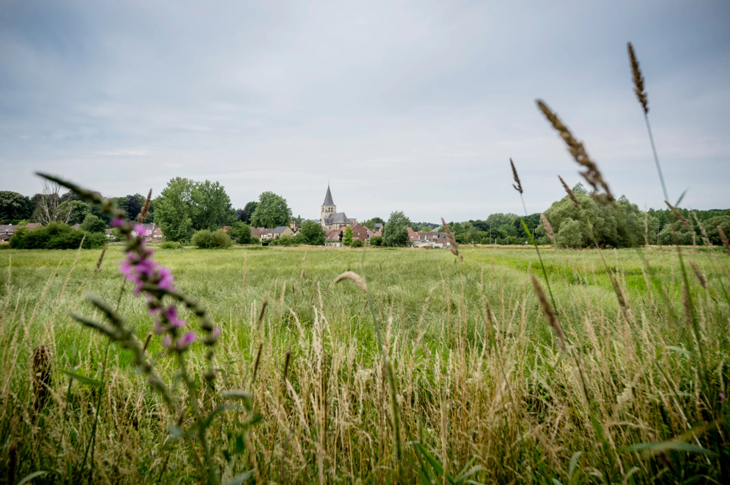
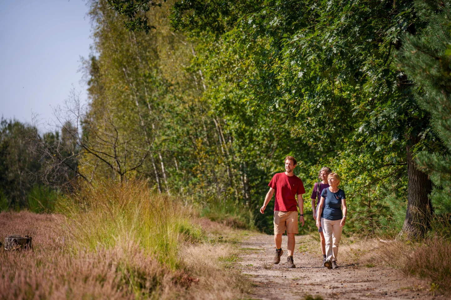


The giant plane tree at St. Agatha’s Church was planted as a “tree of liberty” in 1830 to mark Belgium’s independence. That tree is now over 30 meters tall. And there are even more highlights to come on this walk through the greenery of the Dijle and Lane valleys. Forest trails and riverside paths lead you past beautiful flora, grazing cows, and expansive landscapes to the confluence of the two rivers. Take a brief detour from your path at the Grootboek and climb the observation tower to spot the numerous water birds.
Features
Distance
9,1 km
Climbing
91,5 m
Type of road
32% paved, 68% unpaved
Landscape and surroundings
Along water
Signposted
Yes, with nodes
Location and accessibility
Public transport
Bus stop 'Sint-Agatha-Rode Dorp' 140 metres from the starting point. Bus lines: 79.
Resting points
Rest bench or picnic area along the way, food and drink along the route
View the walk on the map
SP
228
227
226
235
236
255
238
237
232
231
265
230
229
229
228
When is the best time to visit it?
Directions
Walking and cycling
See and do
Food and drink
Practical
Where the route is a dotted line, the surface is unpaved.


