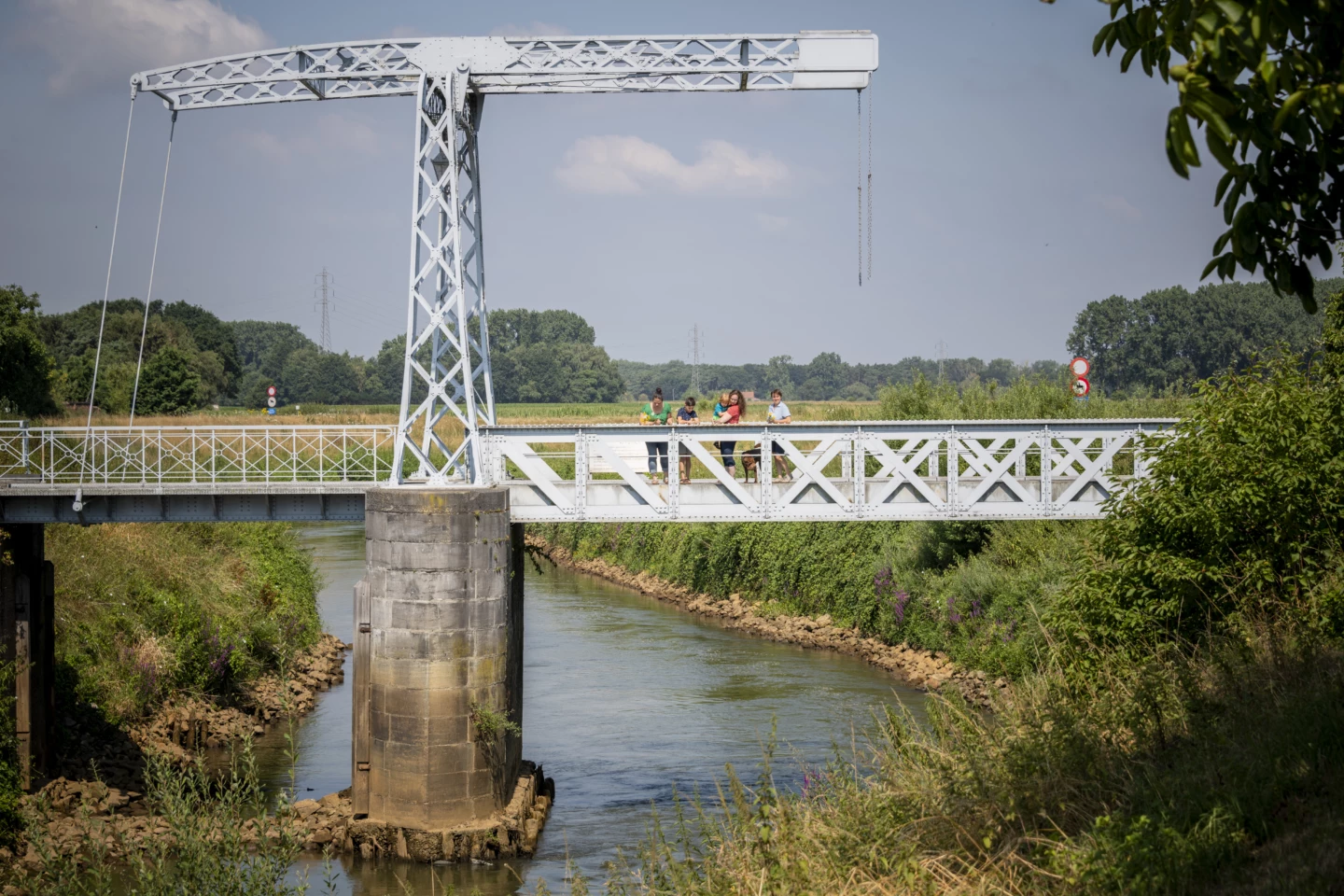
With the Dijle River as your guide, you’ll pass through some beautiful areas, such as the Hooiberg Nature Reserve, which is situated on a sandy hill. The Dijle River carried sand to the foothills of the Zuiderkempen, fostering an enormous variety of life in the Dijle Valley and creating ideal conditions for asparagus cultivation. Be sure to take a look from the Oude Hansbrug. The original cast-iron drawbridge dates back to 1893; since 2005, an exact replica has spanned the Dijle.
Features
Distance
12,0 km
Climbing
34,1 m
Type of road
Flat route, 56% paved, 44% unpaved
Landscape and surroundings
Along water
Signposted
Yes, with nodes
Location and accessibility
Starting point
Sint-Adrianuskerk
Vijfhoekweg 6
3150 Haacht
Vijfhoekweg 6
3150 Haacht
Public transport
Bus stop 'Haacht Sint-Adriaan Kerk' 60 metres from the starting point. Bus lines: 290.
Resting points
Rest bench or picnic area along the way, food and drink along the route
View the walk on the map
SP
512
511
510
509
508
506
507
92
503
502
504
505
When is the best time to visit it?
Directions
Walking and cycling
See and do
Food and drink
Practical
Where the route is a dotted line, the surface is unpaved.


