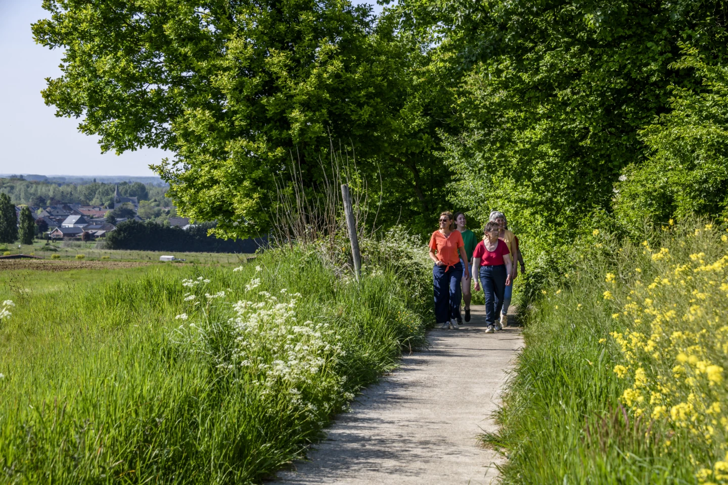
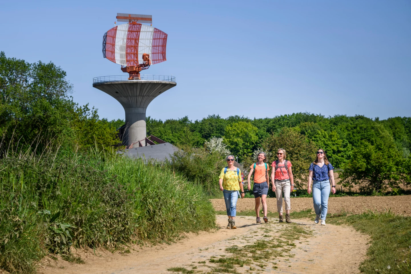
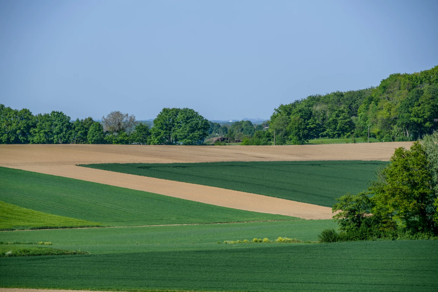


Starting at St. Anthony’s Church with its 13th-century tower, you’ll head into the rural surroundings of Meerbeek. You’ll hike through fields and forests to the impressive Belgocontrol radar station at the region’s highest point, where a panoramic view of the village awaits you. Take a short break at the ‘t Vossenhol playground and picnic area before walking through the Eikenbos and the Rotte Gaten nature reserve. End your walk at the stately rectory, built on behalf of Affligem Abbey.
Before you set out: This is a walk on a virtual hiking network. The junctions are not marked on the ground. Follow the hexagonal red-and-white signs bearing the name of the walk.
Features
Distance
9,1 km
Climbing
54,0 m
Type of road
42% paved, 58% unpaved
Signposted
Yes, with hexagonal sign with name
Location and accessibility
Public transport
Bus stop 'Meerbeek Gemeentehuis' 205 metres from the starting point. Bus lines: 91, 298.
Resting points
Rest bench or picnic area along the way, food and drink along the route
Child-friendly
Child-friendly
View the walk on the map
When is the best time to visit it?
Directions
Walking and cycling
See and do
Food and drink
Practical
Where the route is a dotted line, the surface is unpaved.

