
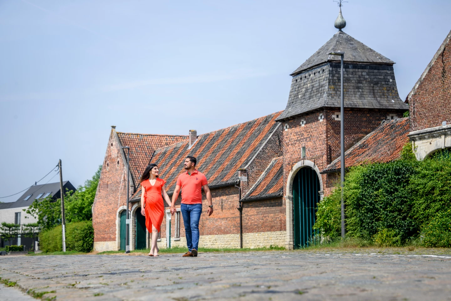
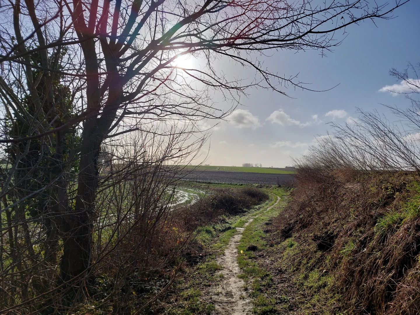
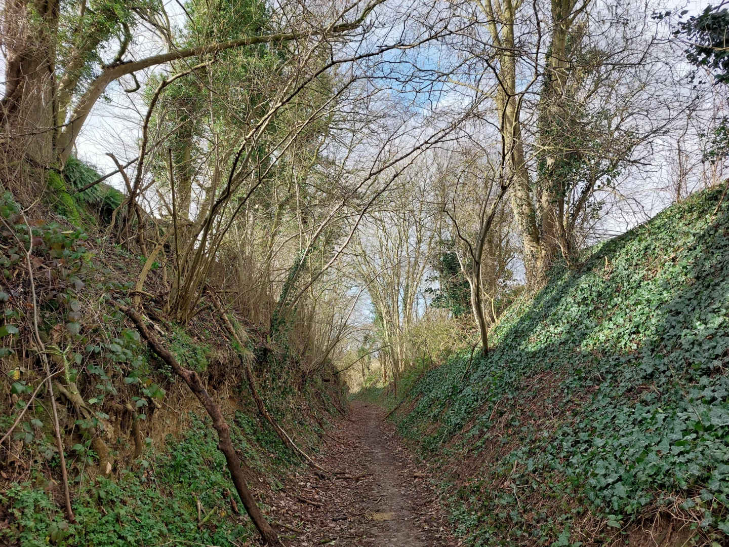
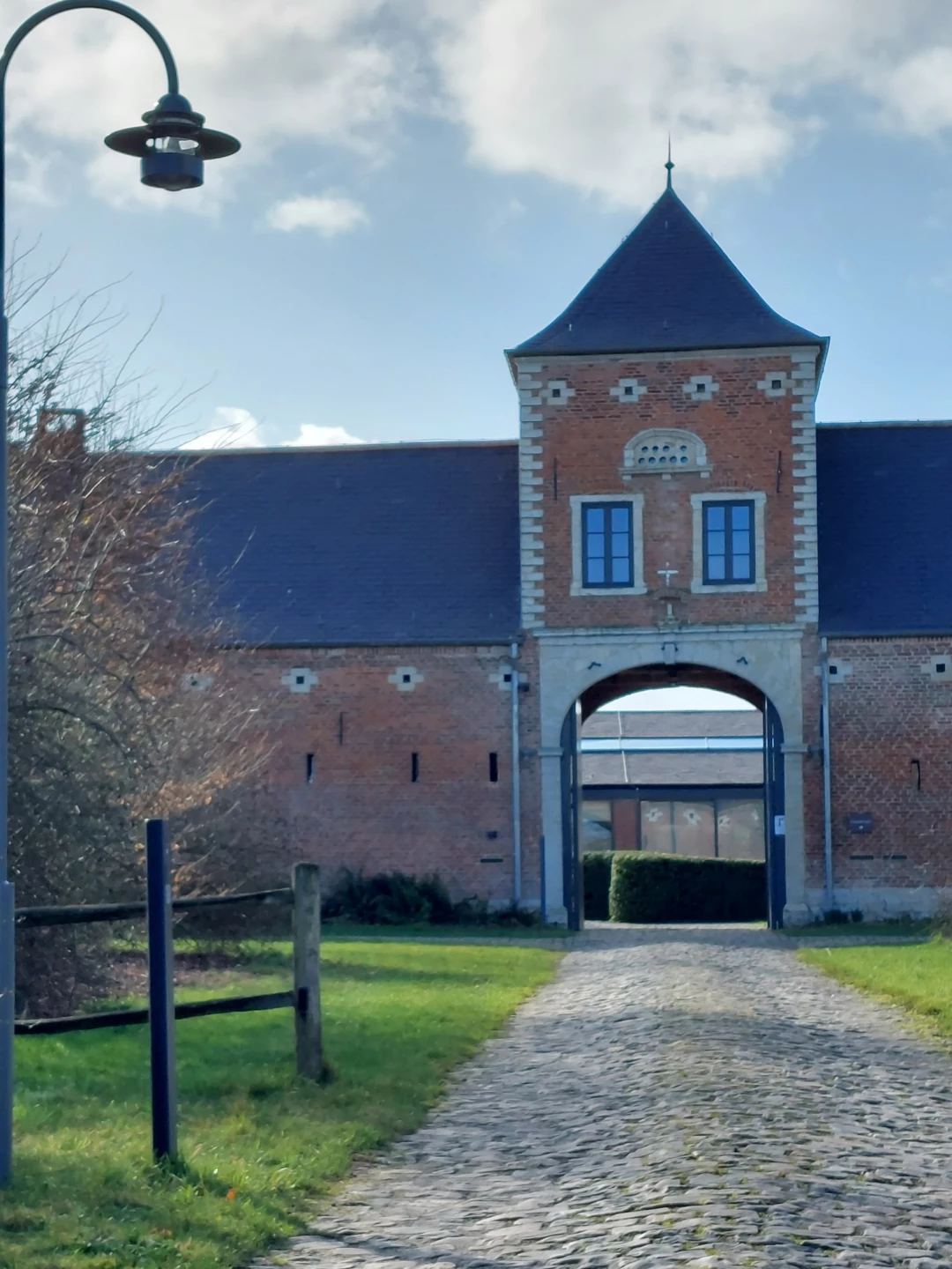


With the Velpe as your guide, you’re in for a lovely walk through sunken roads and vast fields in and around the village of Opvelp. The landscape has been shaped by agriculture for centuries, as beautifully illustrated by the Berkenhof, a stunning square farmhouse. Enjoy the tranquility and stunning scenery in the Hazeberg Nature Reserve.
Before you set out: This is a walk on a virtual hiking network. The junctions are not marked on the ground. Follow the hexagonal red-and-white signs bearing the name of the walk.
IMPORTANT: The route between junctions 747 and 748 has been changed. Please follow the signage.
Features
Distance
8,0 km
Climbing
51,0 m
Type of road
30% paved, 70% unpaved
Signposted
Yes, with hexagonal sign with name
Location and accessibility
Starting point
Parking Velpestraat
3360 Opvelp (Bierbeek)
3360 Opvelp (Bierbeek)
Public transport
Bus stop 'Opvelp Gemeentehuis' 41 metres from the starting point.
Resting points
Rest bench or picnic area along the way
View the walk on the map
When is the best time to visit it?
Directions
Walking and cycling
See and do
Food and drink
Practical
Where the route is a dotted line, the surface is unpaved.

