
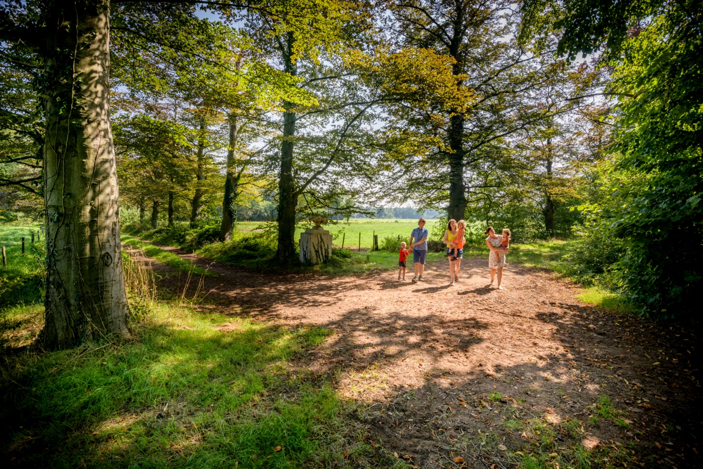



You’ll walk along sunken paths and past wooded slopes while enjoying beautiful views at the northernmost tip of the province. On a clear day, you can see the white-stone tower of the Norbertine Abbey in Averbode in the distance. You’ll also pass a few beautiful farmhouses—do you recognize the rust-brown iron sandstone?—and come by the Schouwbroek, a wetland that was once used as hayfields.
Features
Distance
9,8 km
Climbing
54,7 m
Type of road
Always dry feet, 48% paved, 52% unpaved
Signposted
Yes, with nodes
Location and accessibility
Starting point
Sint-Hubertuskerk
Sint-Hubertusplein
3290 Schaffen
Sint-Hubertusplein
3290 Schaffen
Public transport
Bus stop 'Schaffen Sint-Hubertusplein' 63 metres from the starting point.
Resting points
Rest bench or picnic area along the way, food and drink along the route
View the walk on the map
SP
905
909
919
920
918
916
917
905
When is the best time to visit it?
Directions
Walking and cycling
See and do
Food and drink
Practical
Where the route is a dotted line, the surface is unpaved.


