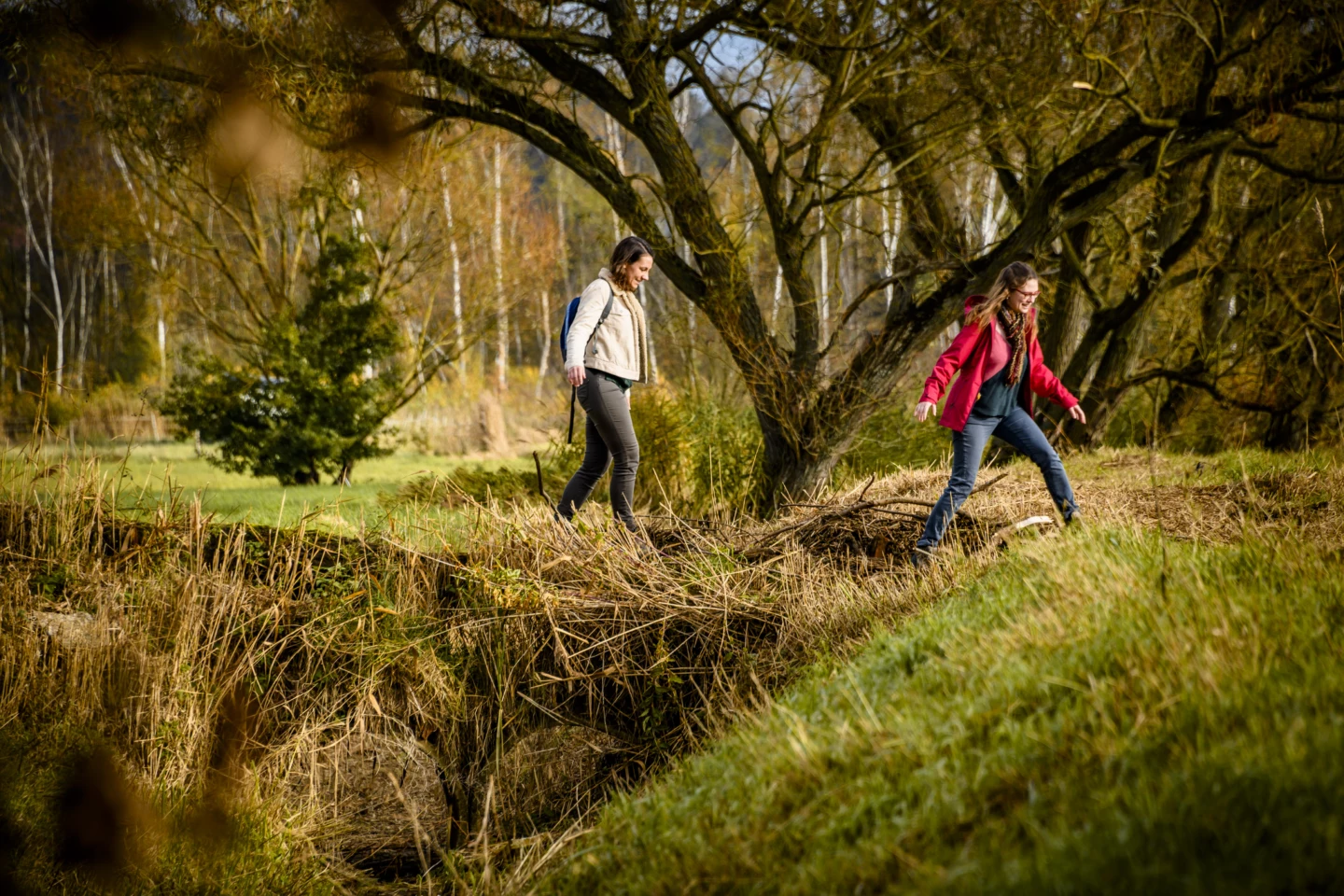


Follow the Demer out of the town of Aarschot, and you’ll soon find yourself walking into the silence, with the water on your left and the woods and meadows of the Achter Schoonhoven nature reserve on your right. Passing through all this natural beauty, you’ll reach the little river called the Motte, and a little further on, you’ll reach the top of the Konijnenberg. With a panoramic view! Want to make your trip even more adventurous? Then bring your tent and spend the night at the camping area. From here, the trail descends again to the banks of the Demer and the meandering picnic area at Langdorp.
Features
Distance
12,2 km
Climbing
43,0 m
Type of road
Flat route, 17% paved, 83% unpaved
Signposted
Yes, with nodes
Location and accessibility
Starting point
Parking Demervallei
Demervallei
3200 Aarschot
Demervallei
3200 Aarschot
Public transport
Bus stop 'Aarschot Demervallei' 196 metres from the starting point. Bus lines: 30, 25, 41, 14, 648, 64.
Resting points
Rest bench or picnic area along the way, food and drink along the route
View the walk on the map
SP
762
735
735
764
724
725
726
739
736
737
410
410
746
762
When is the best time to visit it?
Directions
Walking and cycling
See and do
Food and drink
Practical
Where the route is a dotted line, the surface is unpaved.


