
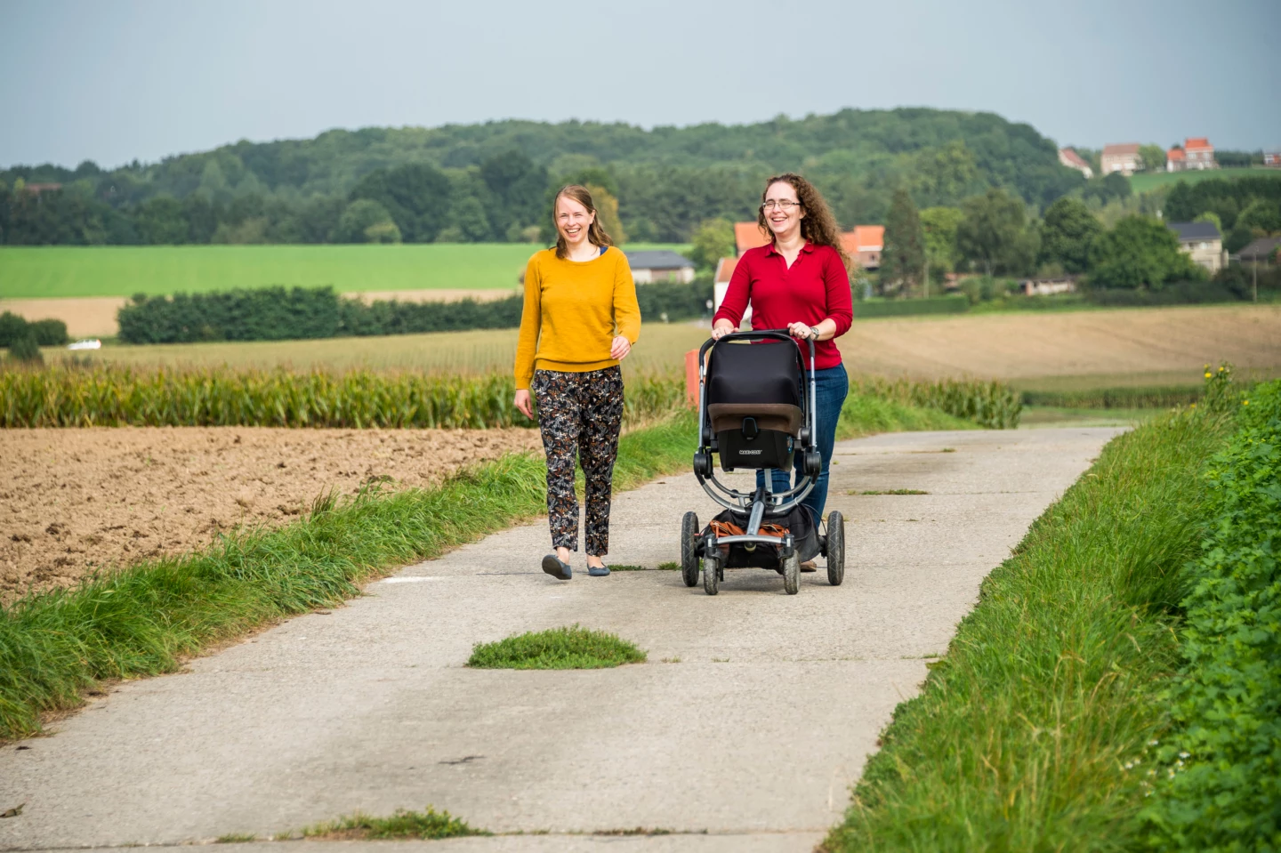
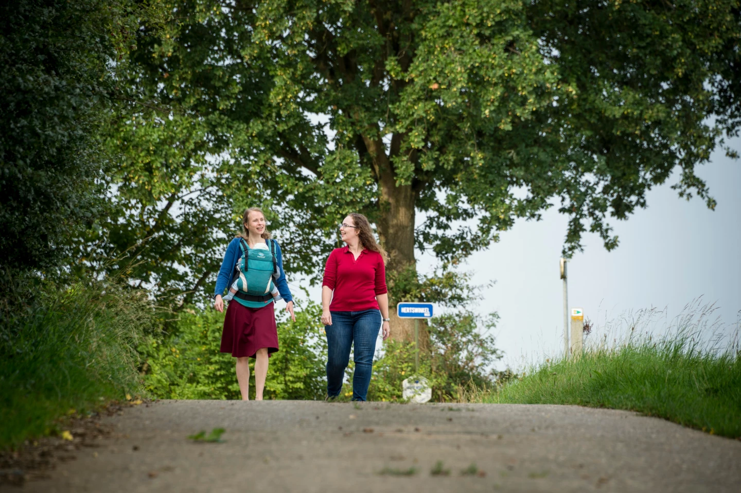


Through the rolling countryside of Lubbeek, all the way to the highest point of the village where the water tower stands. Needless to say, the panoramic view there is magnificent. Make your way through the densely vegetated, unpaved Waterstraat, the old road connecting Aarschot and Jodoigne. Hendrik Conscience is said to have slept along the Consciencepad during his military service. In the spring, the blossoms of the orchards brighten up the entire region.
Before you set out: This is a walk on a virtual hiking network. The junctions are not marked on the ground. Follow the hexagonal red-and-white signs bearing the name of the walk.
Features
Distance
8,7 km
Climbing
75,3 m
Type of road
Always dry feet, 76% paved, 24% unpaved
Signposted
Yes, with hexagonal sign with name
Location and accessibility
Starting point
Sint-Bernarduskerk
Staatsbaan 178
3210 Lubbeek
Staatsbaan 178
3210 Lubbeek
Public transport
Bus stop 'Lubbeek Kraaiwinkelstraat' 191 metres from the starting point. Bus lines: 40, 406, 42, 426.
Resting points
Rest bench or picnic area along the way, food and drink along the route
View the walk on the map
When is the best time to visit it?
Directions
Walking and cycling
See and do
Food and drink
Practical
Where the route is a dotted line, the surface is unpaved.

