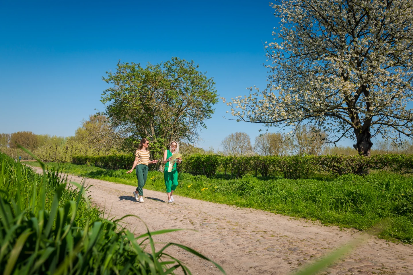
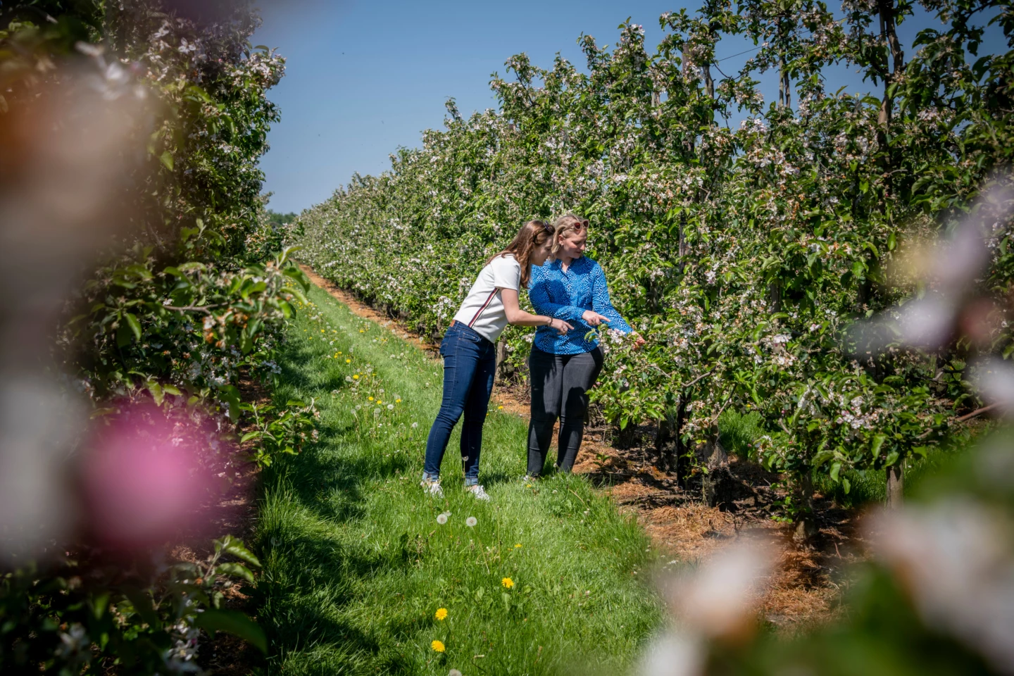
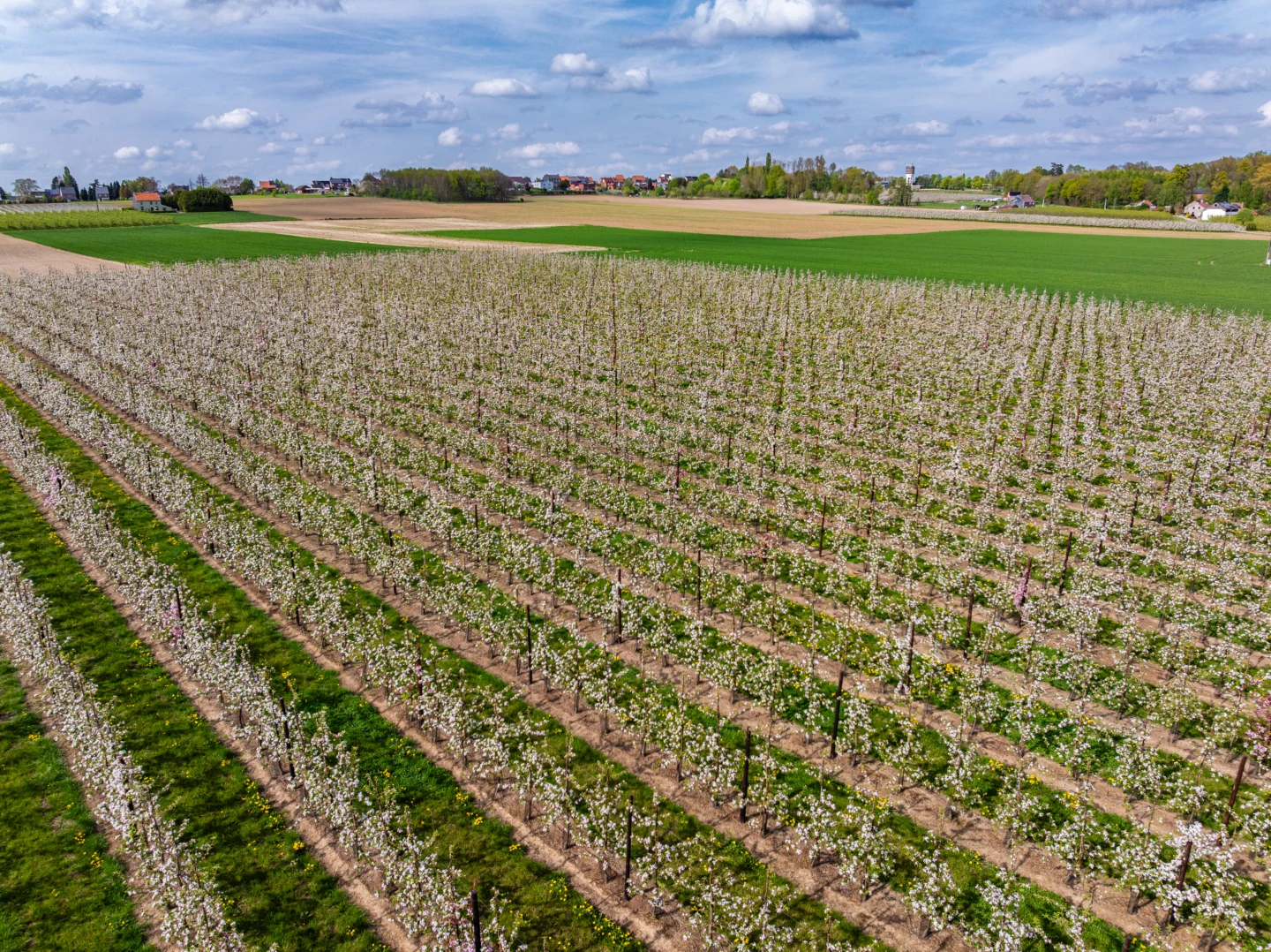


You’ll climb the slope of the Getevallei valley all the way to the highest point of Ransberg. From here, on a clear day, you’ll have a phenomenal view of the entire valley region. You’ll walk through fruit orchards, fields, and meadows, and every now and then you’ll come across a solitary farmhouse along the way. The Tienbundersbos nature reserve wasn’t always a forest; it used to be wild heathland. That’s what makes this forest different from the older forests in the region. There are no spring-blooming plants here, but rather fall-blooming ones such as blueberries, blue knapweed, and gorse.
Features
Distance
8,5 km
Climbing
40,0 m
Type of road
Flat route, always dry feet, 71% paved, 29% unpaved
Signposted
Yes, with nodes
Location and accessibility
Starting point
Kruispunt Heerbaan-Jodenstraat
3440 Budingen (Zoutleeuw)
3440 Budingen (Zoutleeuw)
Resting points
Rest bench or picnic area along the way, food and drink along the route
View the walk on the map
324
326
327
328
351
350
823
331
330
332
325
324
When is the best time to visit it?
Directions
Walking and cycling
See and do
Food and drink
Practical
Where the route is a dotted line, the surface is unpaved.


