
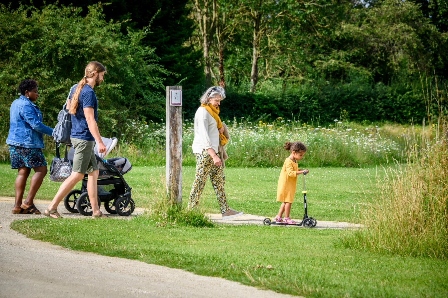
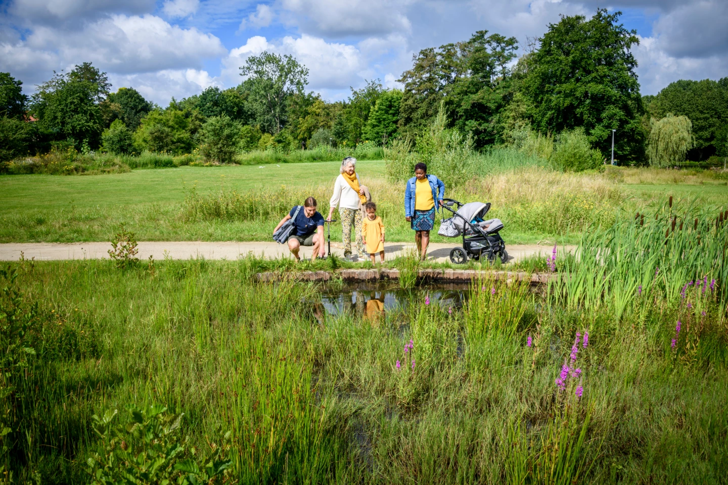


The Lovenarenbroek was once a vast marshland in the Dijle Valley, stretching from the 12th-century city wall of Leuven to the foot of the Kesselberg. Today, Natuurpunt manages what remains as an educational nature reserve within the Kessel-Lo Provincial Domain. You can walk along the marsh, around the two beautiful domain ponds, and down hidden little paths between the gardens and houses of Beneden-Kessel, eventually arriving at Vlierbeek Abbey.
Features
Distance
3,7 km
Climbing
25,0 m
Type of road
Flat route, 68% paved, 32% unpaved
Landscape and surroundings
Nature reserve
Signposted
Yes, with nodes
Location and accessibility
Starting point
Holsbeeksesteenweg
3010 Kessel-Lo
3010 Kessel-Lo
Public transport
Bus stop 'Kessel-Lo Prov. Recreatiecentr.' 17 metres from the starting point. Bus lines: 1.
Resting points
Rest bench or picnic area along the way, food and drink along the route
View the walk on the map
SP
4
41
42
When is the best time to visit it?
Directions
Walking and cycling
See and do
Food and drink
Practical
Where the route is a dotted line, the surface is unpaved.


