

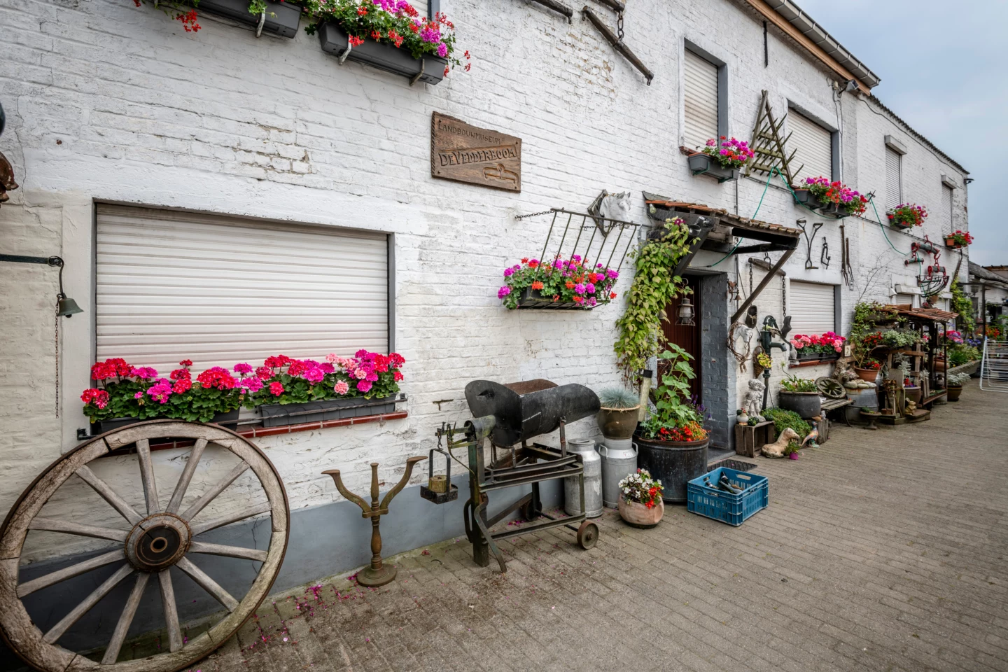


The “Machtig Mazel” Walk showcases the highlights and hidden gems of the village of Mazenzele. Starting at the Sint-Pieters-Bandenkerk, the walk takes you to the Dries, a place that was once important as a gathering spot for livestock and a meeting place. You’ll then walk to the Kravaalvelden nature reserve and past the Kravaalbos.
Before you set out: This walk is organized by the Brabantse Kouters Regional Landscape in collaboration with the municipality.
Features
Distance
5,5 km
Climbing
43,1 m
Type of road
40% paved, 60% unpaved
Signposted
Yes, with nodes
Location and accessibility
Starting point
Sint-Pieters-Bandenkerk
Dorp
1745 Mazenzele
Dorp
1745 Mazenzele
Public transport
Bus stop 'Mazenzele Dorp' 123 metres from the starting point. Bus lines: 20.
Resting points
Rest bench or picnic area along the way, food and drink along the route
View the walk on the map
717
7
27
70
71
716
74
75
713
726
717
When is the best time to visit it?
Directions
Walking and cycling
See and do
Food and drink
Practical
Where the route is a dotted line, the surface is unpaved.


