
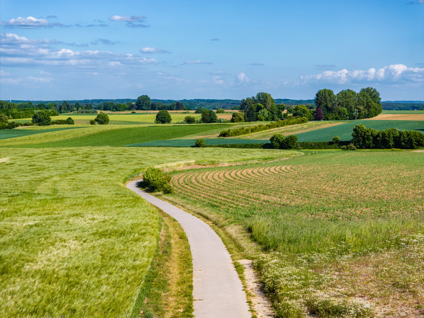


Start in Neerijse for a walk through the open farmland of the Duisburg Plateau. At the highest point, you’ll come to the art installation *Ooghoogte*. The artist collective Observatorium created a striking, three-dimensional logo whose curved shapes reference the undulating kouter landscape and its characteristic sunken roads. You’ll walk back to the starting point via the Raffelberghoeve and the Ganzemanshoeve.
Features
Distance
6,4 km
Climbing
88,8 m
Type of road
61% paved, 39% unpaved
Signposted
Yes, with nodes
Location and accessibility
Starting point
Parking
Donkerstraat
3040 Neerijse
Donkerstraat
3040 Neerijse
Public transport
Bus stop 'Neerijse Stwg. nr.Leefdaal' 77 metres from the starting point. Bus lines: 70.
Resting points
Rest bench or picnic area along the way
View the walk on the map
267
268
207
508
509
206
205
218
218
266
267
When is the best time to visit it?
Directions
Walking and cycling
See and do
Food and drink
Practical
Where the route is a dotted line, the surface is unpaved.


