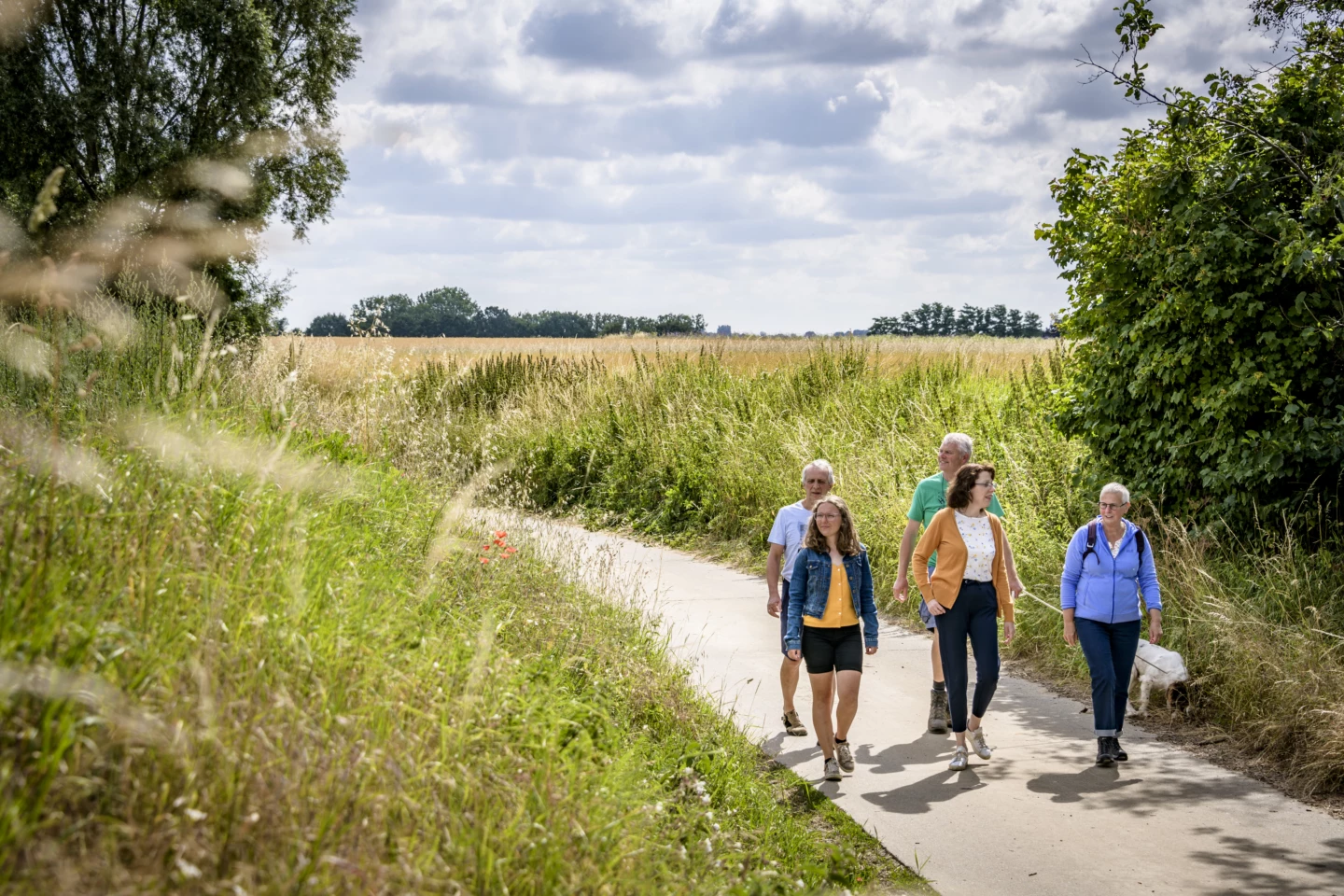
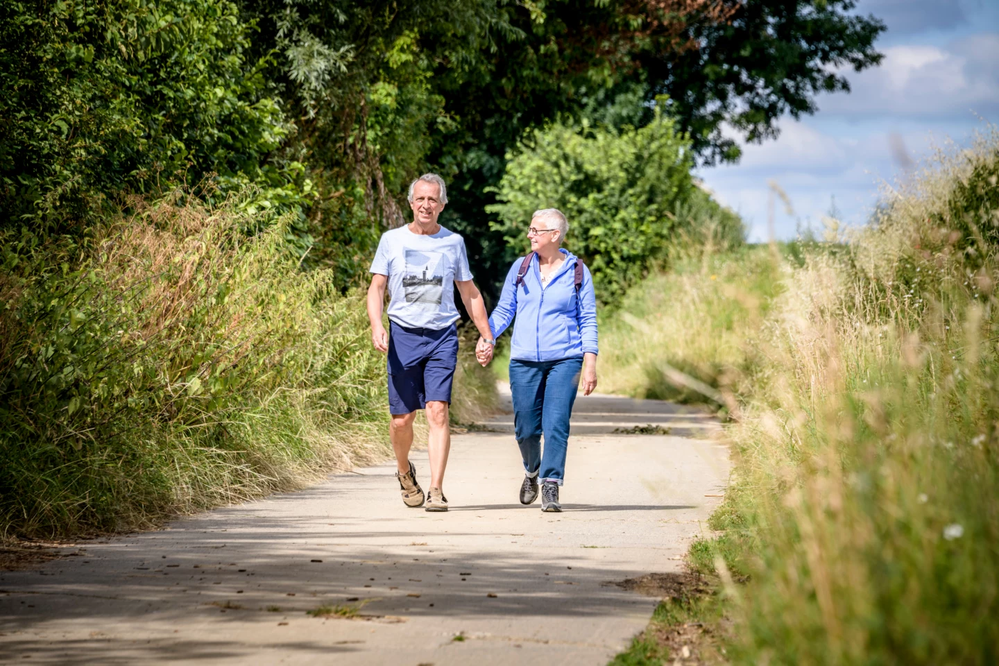


Outgaarden is a classic example of a Haspengouw cluster village. All the homes and farmsteads are grouped together in the village center, as was customary in the region in the past. This allows you to truly enjoy the tranquility of a vast, rolling farmland landscape where hardly a house is in sight. On the horizon, you can spot the church steeples of Goetsenhoven, Hoegaarden, Outgaarden, Saint-Jean-Geest, Noduwez, and Piétrain. Every now and then, you’ll come upon a sunken road.
Before you set out: This is a walk on a virtual hiking network. The junctions are not marked on the ground. Follow the hexagonal red-and-white signs bearing the name of the walk.
Features
Distance
5,8 km
Climbing
31,0 m
Type of road
Flat route, always dry feet, 100% paved
Signposted
Yes, with hexagonal sign with name
Location and accessibility
Starting point
Sint-Niklaaskerk
Kerkstraat 4
3321 Outgaarden (Hoegaarden)
Kerkstraat 4
3321 Outgaarden (Hoegaarden)
Public transport
Bus stop 'Outgaarden Kerk' 63 metres from the starting point. Bus lines: 629.
Resting points
Rest bench or picnic area along the way
View the walk on the map
When is the best time to visit it?
Directions
Walking and cycling
See and do
Food and drink
Practical
Where the route is a dotted line, the surface is unpaved.

