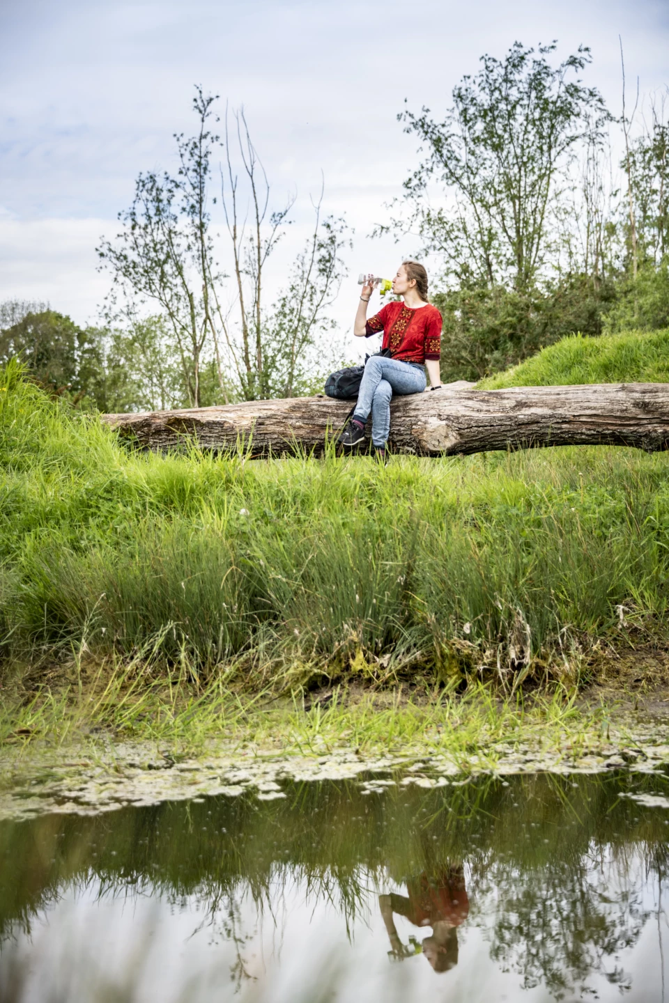
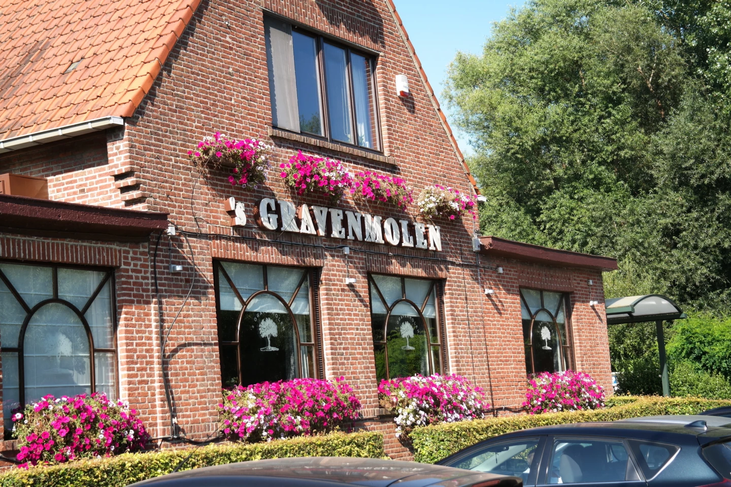


Walk along the border between Grimbergen and the Brussels Region. You’re literally walking right next to the R0, with the monotonous roar of cars in the background, while looking out over the fields. For a bit, you follow the Maalbeek to ’s Gravenmolen, the oldest watermill in the municipality. Hof ter Weerdestraat is an important historic street where a moated castle and two large tenant farms once stood. The castle is gone, but the two farms are still there: Hof ter Weerde and the Spiegelhof. Both are centuries old and designated as historic monuments.
Before you set out: This is a walk on a digital walking network. The junctions are not marked on the ground. Follow the hexagonal red-and-white signs bearing the name of the walk.
Features
Distance
7,4 km
Climbing
48,0 m
Type of road
70% paved, 30% unpaved
Signposted
Yes, with hexagonal sign with name
Location and accessibility
Resting points
Rest bench or picnic area along the way, food and drink along the route
View the walk on the map
When is the best time to visit it?
Directions
Walking and cycling
See and do
Food and drink
Practical
Where the route is a dotted line, the surface is unpaved.

