

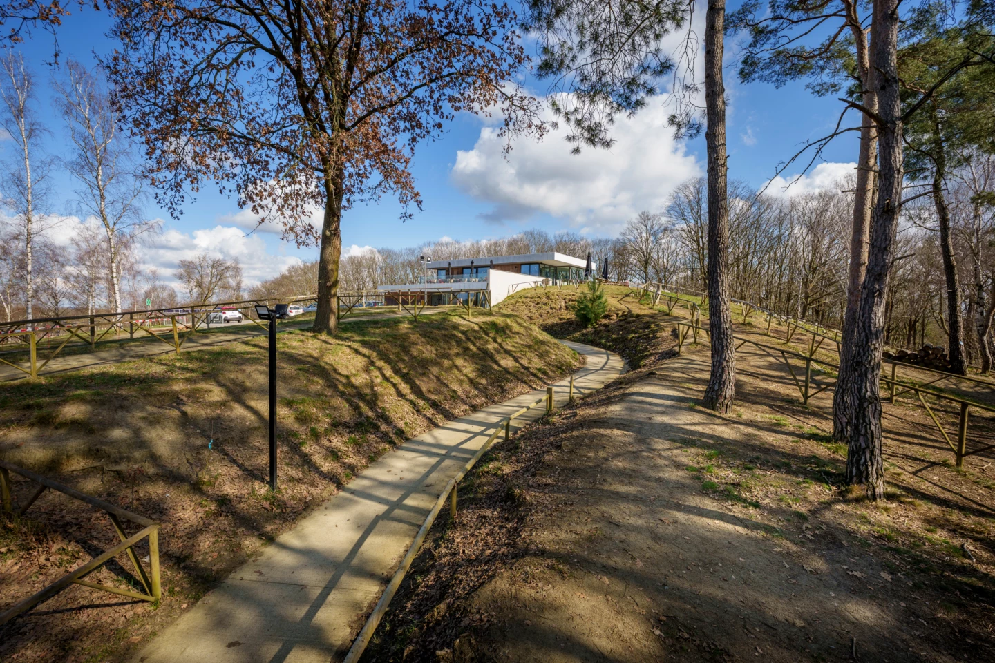
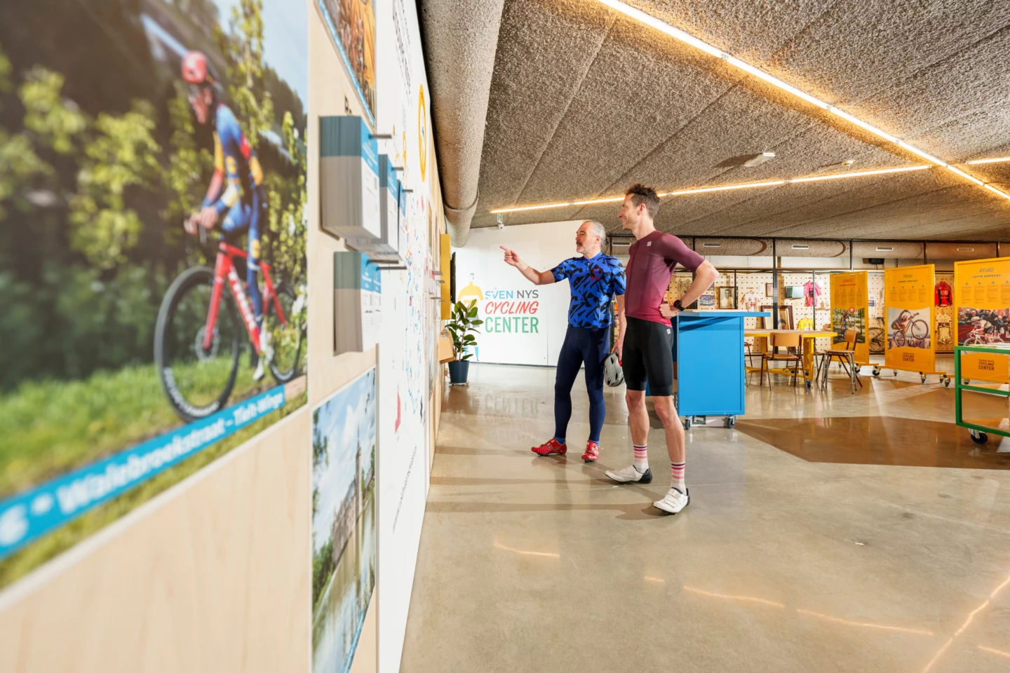


This short walk introduces you to the Balenberg nature reserve. The Balenberg is divided into two parts by a sunken road. At 45 meters high, the higher part of Balenberg is one of the highest points in Low Belgium. The lower section was best known as a venue for motocross and cyclocross races and is now home to the Sven Nys Cycling Center, the premier center for off-road cycling.
Features
Distance
2,4 km
Climbing
45,2 m
Type of road
8% paved, 92% unpaved
Landscape and surroundings
Forest, nature reserve
Signposted
Yes, with hexagonal sign with blue diamond
Location and accessibility
Resting points
Rest bench or picnic area along the way, food and drink along the route
View the walk on the map
When is the best time to visit it?
Directions
Walking and cycling
See and do
Food and drink
Practical
Where the route is a dotted line, the surface is unpaved.

