


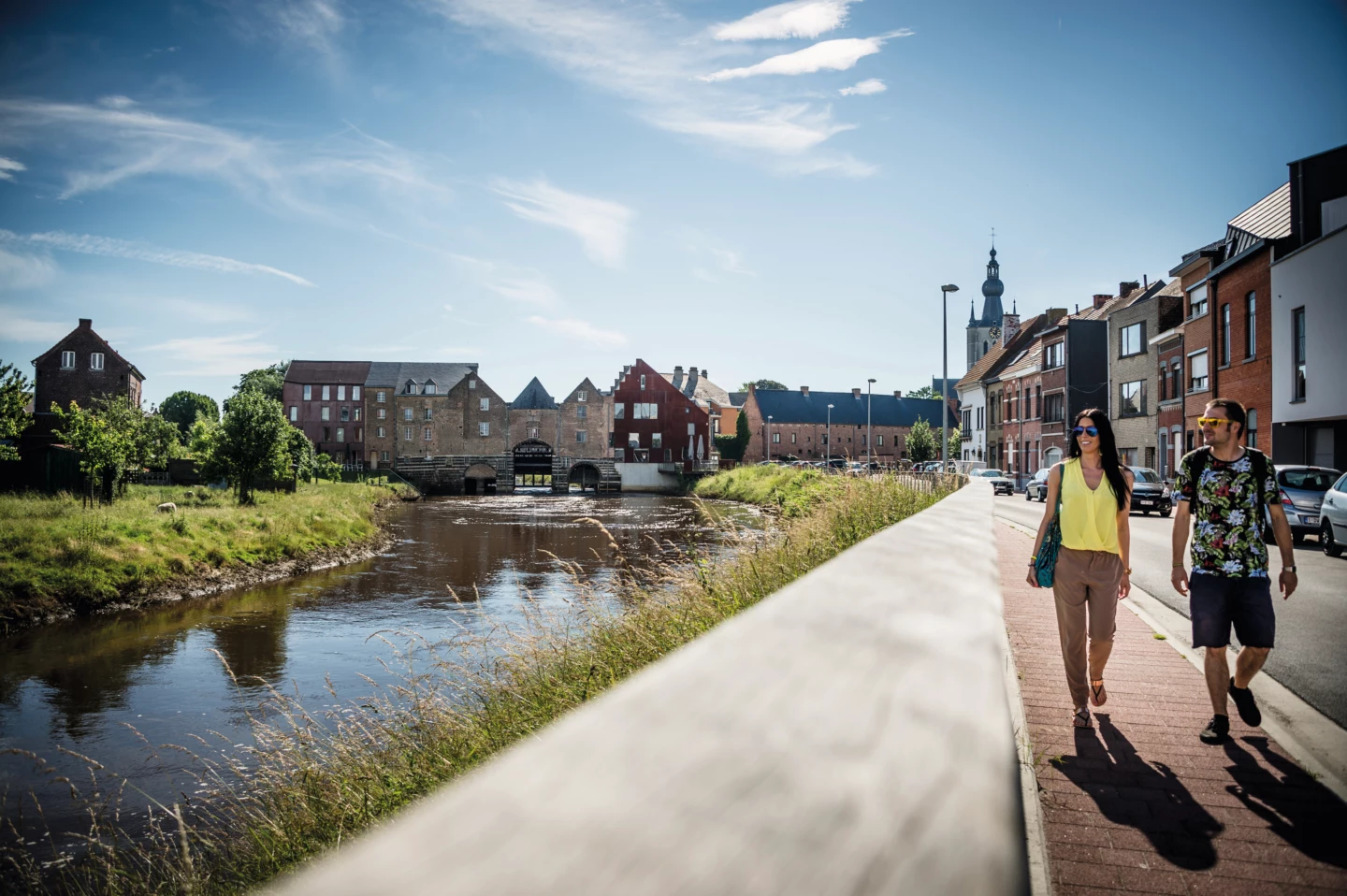


In the past, the people of Aarschot used to let their livestock graze on the heathland outside the city walls. Several cattle trails led there, such as to the ’s Hertogenheide nature reserve. This walk takes you along those same paths through the Aarschot countryside, to the banks of the Demer River and the Eikelberg, a typical Hageland hill made of iron sandstone. At the Orleanstoren, a spiral staircase leads you to a viewing platform offering a spectacular vista.
Features
Distance
11,3 km
Climbing
71,0 m
Type of road
36% paved, 64% unpaved
Landscape and surroundings
Along water
Signposted
Yes, with nodes
Location and accessibility
Starting point
Statieplein
3200 Aarschot
3200 Aarschot
Public transport
Bus stop 'Aarschot Station ' 26 metres from the starting point. Bus lines: 220, 221, 32a, 329, 220, 221, 32a, 329, 160, 161, 25, 32b, 41, 14, 648, 64, 31, 30.
Train station Aarschot 106 metres from the starting point.
Train station Aarschot 106 metres from the starting point.
Resting points
Rest bench or picnic area along the way, food and drink along the route
View the walk on the map
247
748
708
704
79
73
705
715
716
717
712
713
710
247
When is the best time to visit it?
Directions
Walking and cycling
See and do
Food and drink
Practical
Where the route is a dotted line, the surface is unpaved.


