
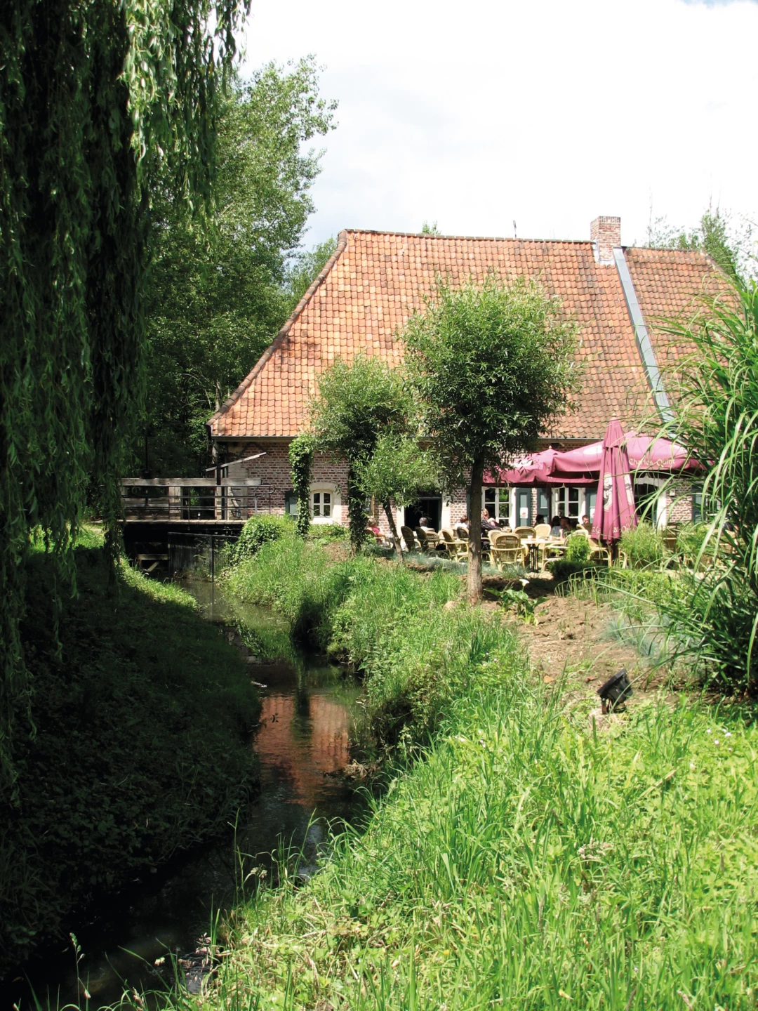
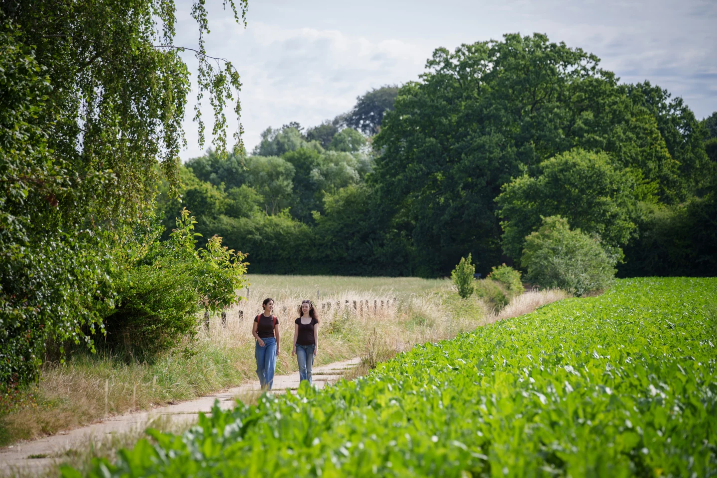
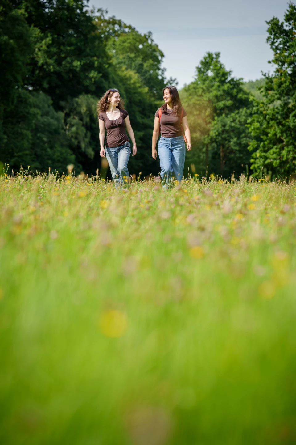
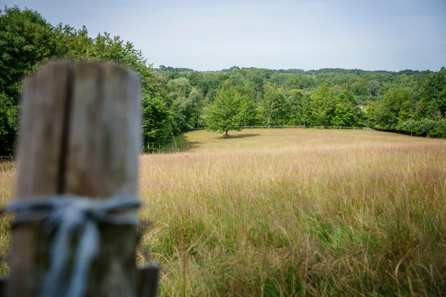


As far back as the Middle Ages, the Molenbeek, the Sassenbeek, and the Kraaiwinkelbeek fed the reservoir ponds of the Gempemolen. The history of this protected watermill dates back to the 13th century, and today it serves as a cozy brasserie in the Troostemberg Forest. From here, you’ll walk onto the plateau between Sint-Joris-Winge and Lubbeek, where you can enjoy panoramic views of the Hageland landscape.
Before you set out: This is a walk on a virtual hiking network. The junctions are not marked on the ground. Follow the hexagonal red-and-white signs bearing the name of the hike.
Please note: The small bridge over the Kraaiwinkelbeek between junction points 238 and 549 is in very poor condition and therefore extremely dangerous. No specific plans for repairs have been made yet.
Features
Location and accessibility
Gempstraat 56
3390 Sint-Joris-Winge (Tielt-Winge)

