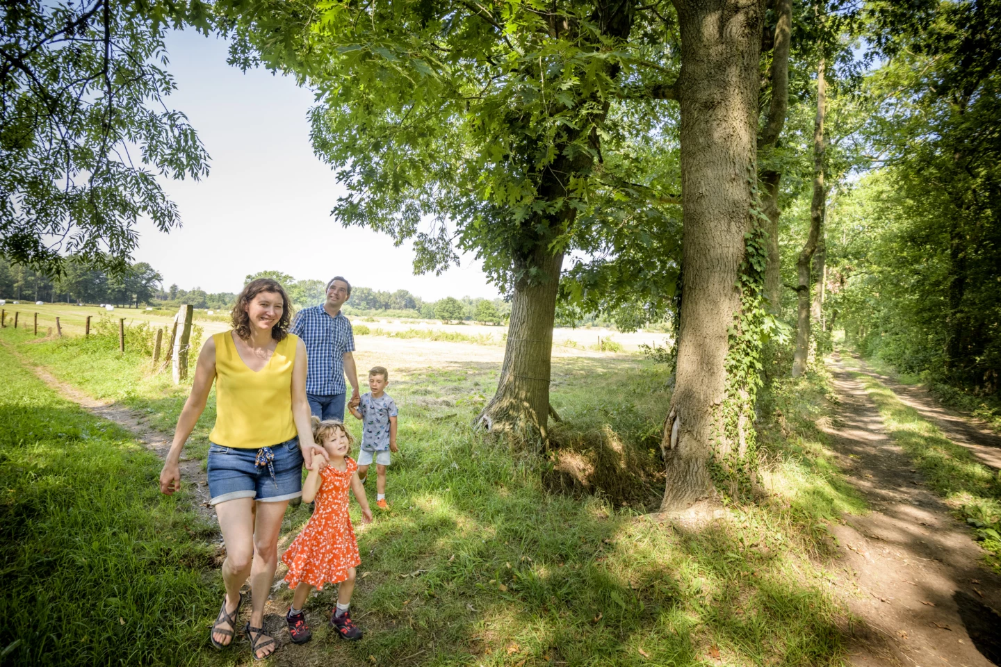
Walking along the city walls and past the Diest train station, you’ll circle all the way around Schaffen Airport. With a bit of luck, you’ll see a few paratroopers gliding through the air on their parachutes, as this is where they receive their training. You’ll pass the statue of De Smid on Schaffen’s village square and the Schans van Rode farm. The Verloren Kostmolen is a landmark in the landscape that has stood in Schaffen since 1904. The Barenberg Winery is just a short detour; you can visit the estate by appointment.
Features
Distance
11,2 km
Climbing
104,0 m
Type of road
Always dry feet, 72% paved, 28% unpaved
Signposted
Yes, with nodes
Location and accessibility
Starting point
Sint-Hubertuskerk
Sint-Hubertusplein
3290 Schaffen
Sint-Hubertusplein
3290 Schaffen
Public transport
Bus stop 'Schaffen Sint-Hubertusplein' 65 metres from the starting point.
Resting points
Rest bench or picnic area along the way, food and drink along the route
View the walk on the map
SP
99
98
97
424
373
284
263
413
942
338
909
905
When is the best time to visit it?
Directions
Walking and cycling
See and do
Food and drink
Practical
Where the route is a dotted line, the surface is unpaved.


