
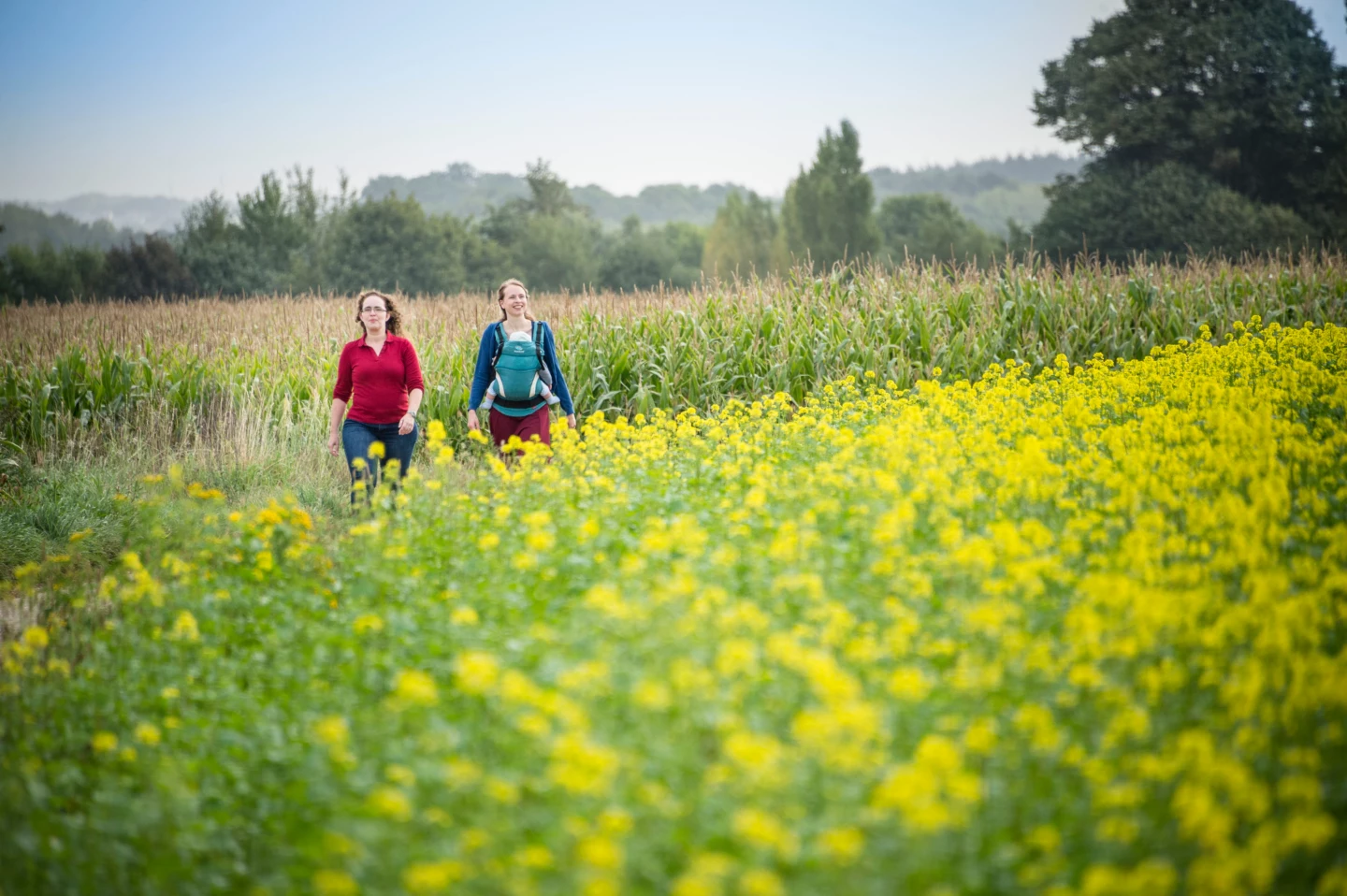
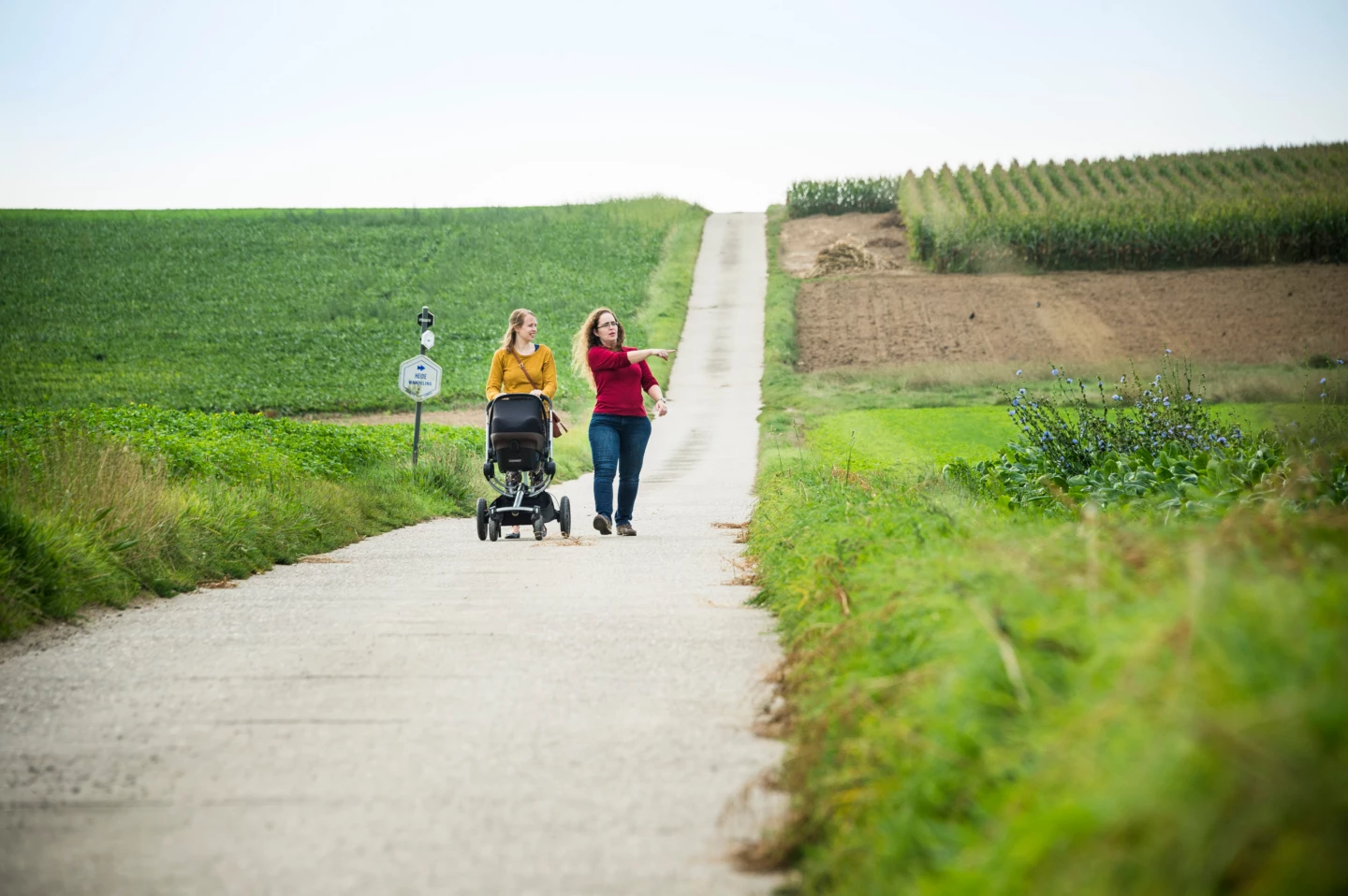
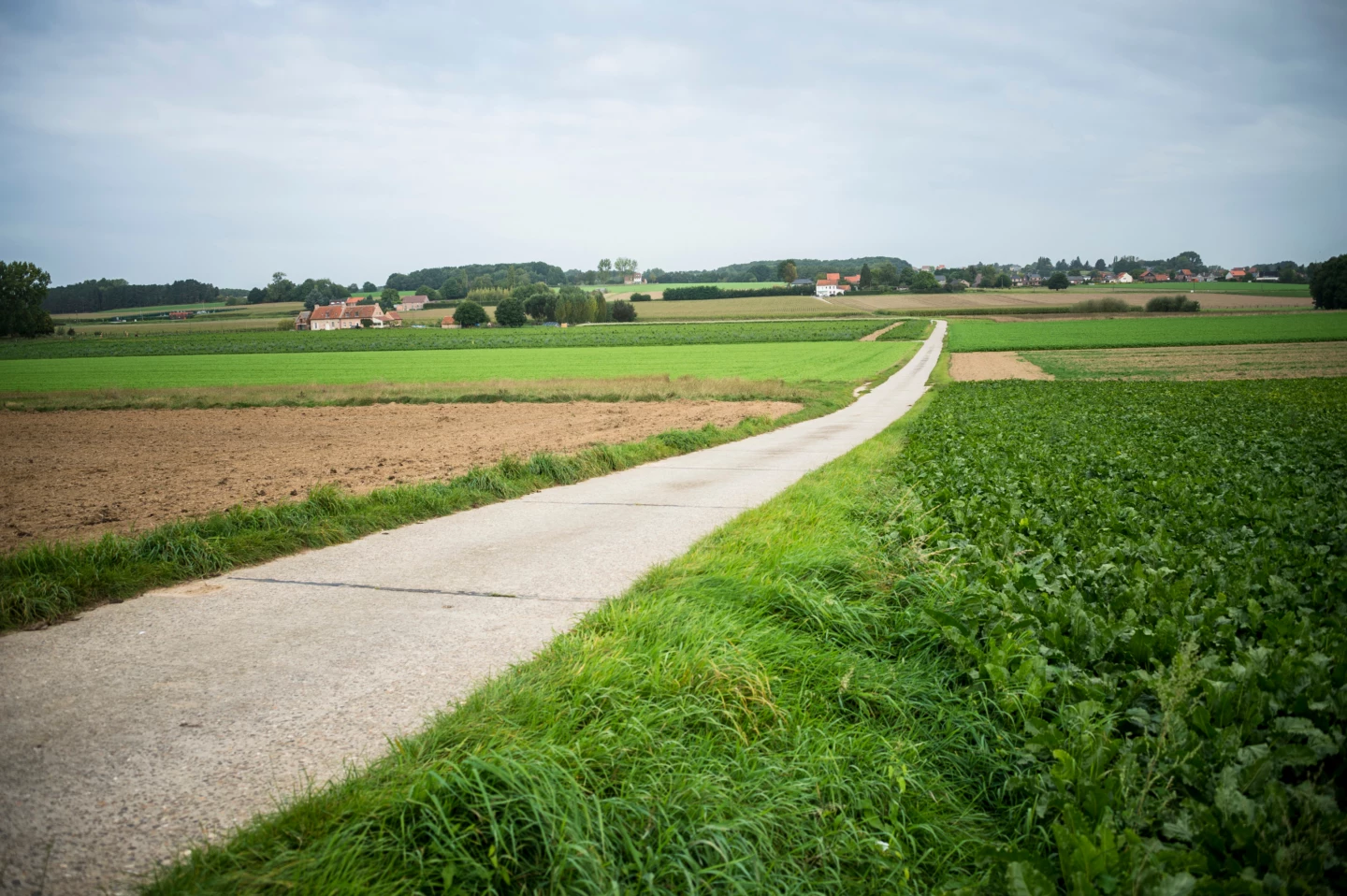
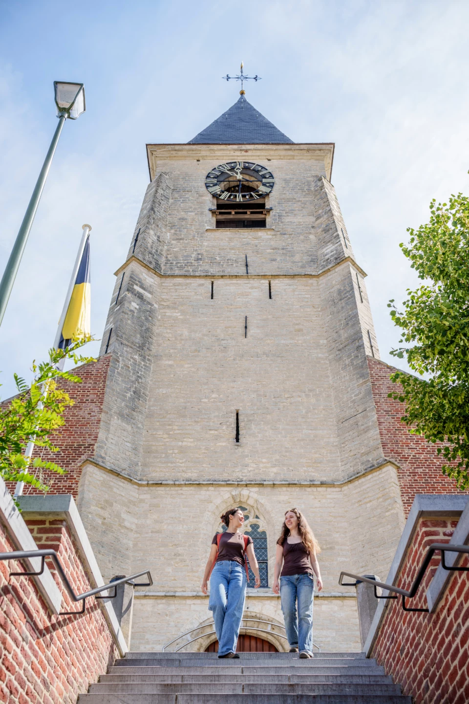


From the historic buildings of the Dorpskring, in the center of Lubbeek, you’ll walk into the rolling Hageland countryside. You’ll pass through sunken roads, sweeping farmlands, and fields flanked by forests on your way to the hamlet of Heide, which used to be called Werveldt. The imposing Herendaelhof has stood in this landscape since 1698; it is still an active farm with horse stables.
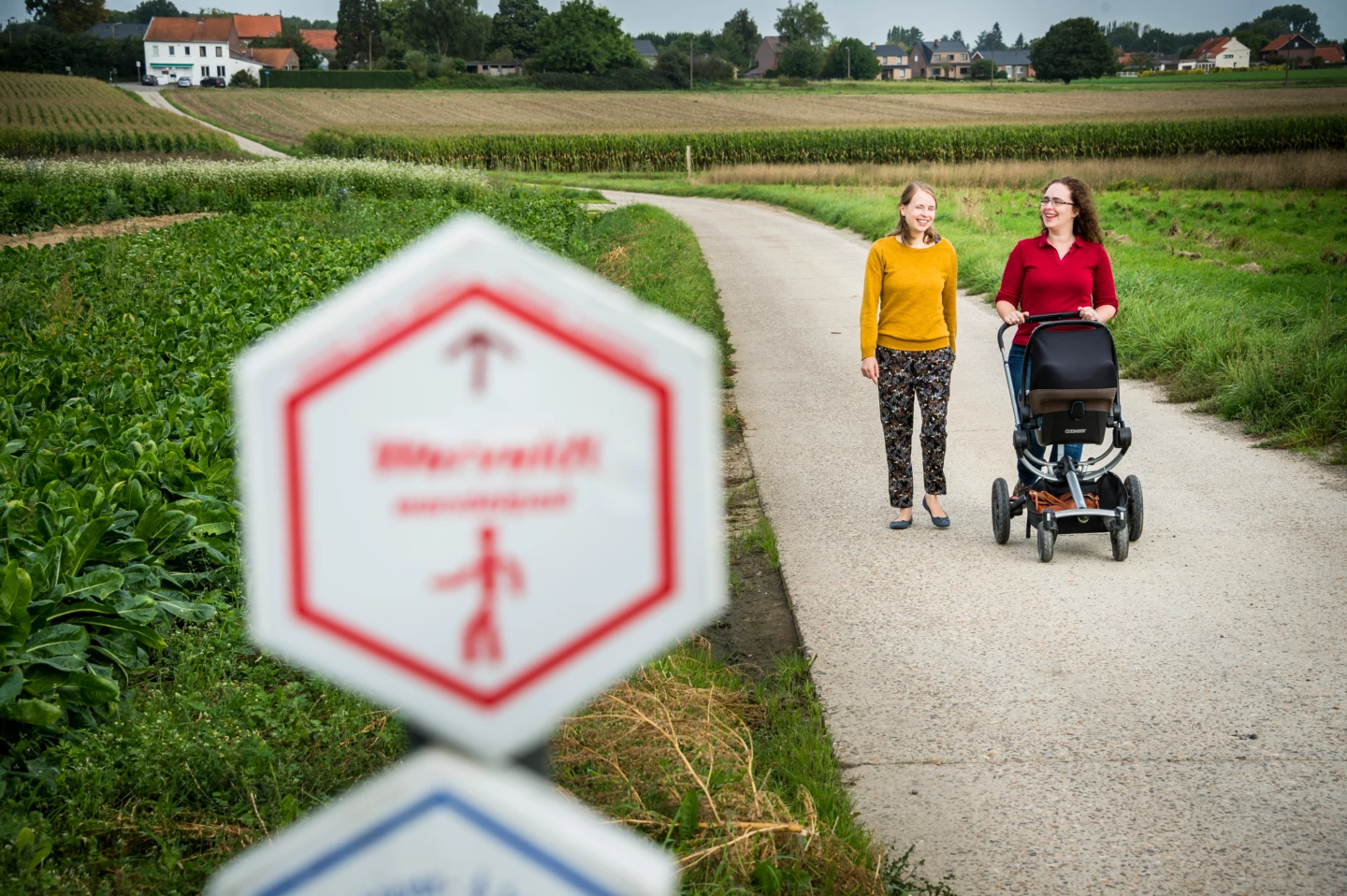
Before you set out: This is a walk on a virtual hiking network. The junctions are not marked on the ground. Follow the hexagonal red-and-white signs bearing the name of the walk.
Features
Distance
9,2 km
Climbing
71,3 m
Type of road
Always dry feet, 93% paved, 7% unpaved
Signposted
Yes, with hexagonal sign with name
Location and accessibility
Starting point
Sint-Martinuskerk
Dorpskring
3210 Lubbeek
Dorpskring
3210 Lubbeek
Public transport
Bus stop 'Lubbeek Dorp' 37 metres from the starting point. Bus lines: 638, 42, 426.
Resting points
Rest bench or picnic area along the way, food and drink along the route
View the walk on the map
When is the best time to visit it?
Directions
Walking and cycling
See and do
Food and drink
Practical
Where the route is a dotted line, the surface is unpaved.

